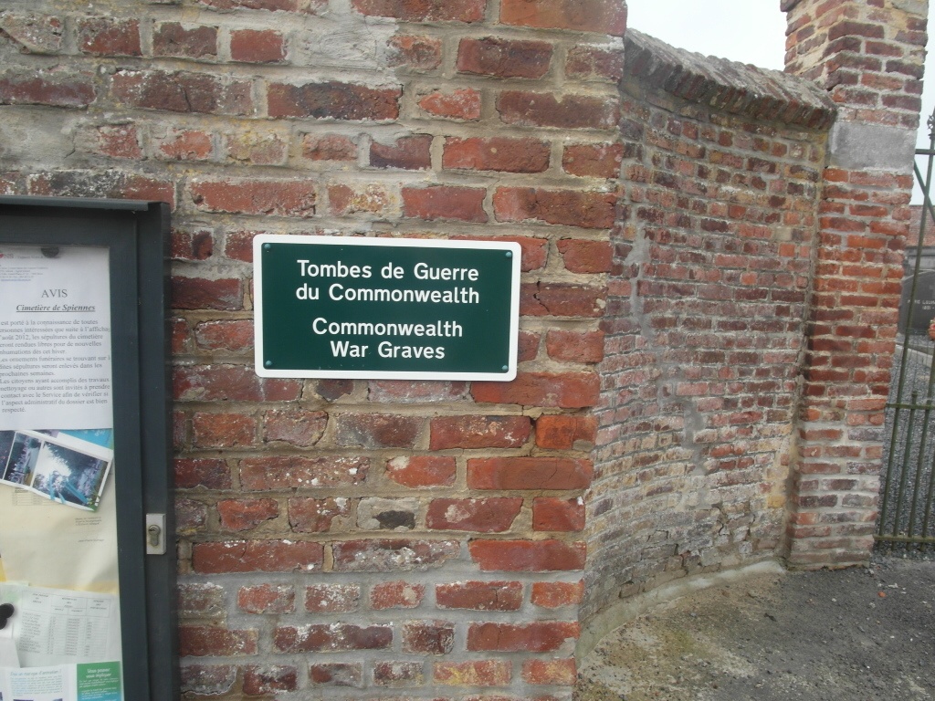
Spiennes Communal Cemetery
- Country Belgium
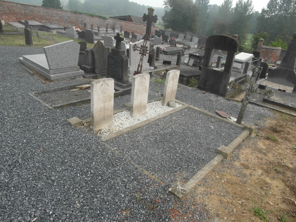
- Total identified casualties 3 Find these casualties
- Region Hainaut
- Identified casualties from First World War
- GPS Coordinates Latitude: 50.42385, Longitude: 3.98194
Location information
The village of Spiennes is located south-east of Mons on the N40. From the E42 motorway turn off at junction 24 and onto the N50 direction Mons. Follow to the ring R50 and turn left onto the ring. At the second crossroads turn left onto the N90 direction Binche, at the fork bear right on the N40 direction Beaumont. Take the fifth turning on the right called Rue Gontran Bachy towards Spiennes, On entering the village take the second turning on the right called Rue Des Prisonniers, follow this to the end and turn right into Rue De Petit Spiennes. The cemetery is along this road. The graves are located to the left of the main path.
History information
Spiennes Communal Cemetery contains three Commonwealth burials of the First World War.