Givry Communal Cemetery
- Country Belgium
- Total identified casualties 1 Find these casualties
- Region Hainaut
- Identified casualties from First World War
- GPS Coordinates Latitude: 50.38103, Longitude: 4.02894
Location information
The village of Givry is located south-east of Mons on the N546. From the E42 motorway turn off at junction 24a and onto the ring R5, follow the ring to the end and turn right onto the N6. Follow the N6 to the junction with the N546 and turn left onto the N546 to Givry. On entering the village turn left into rue du Borain and follow round to the end, where the cemetery is on the left. The graves are located in the centre of the cemetery to the right of the main path.
History information
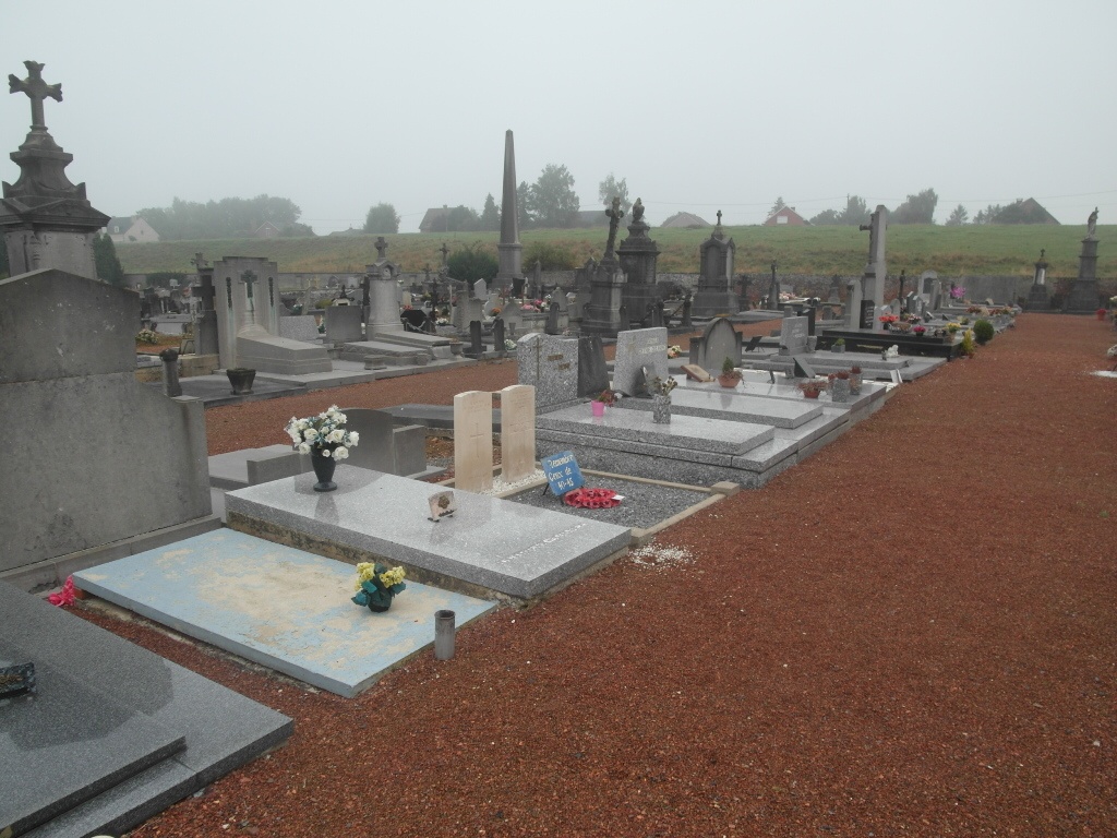
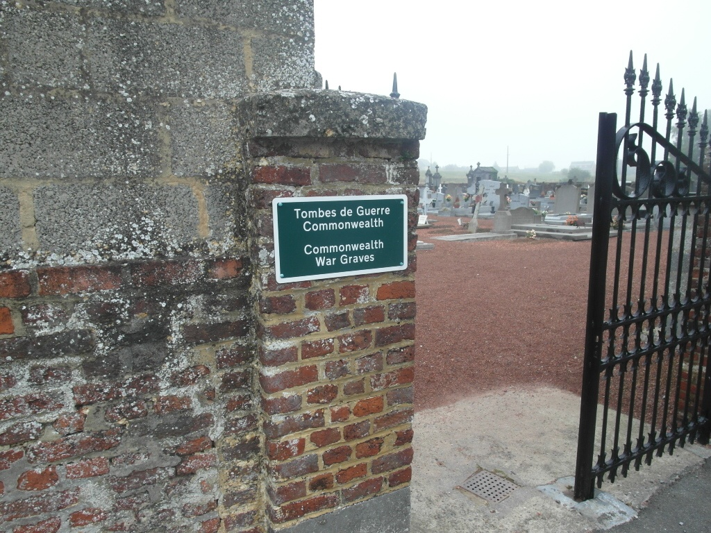
Givry Communal Cemetery contains two Commonwealth burials of the First World War, one of which is unidentified.