Estinnes-Au-Mont Communal Cemetery
- Country Belgium
- Total identified casualties 1 Find these casualties
- Region Hainaut
- Identified casualties from First World War
- GPS Coordinates Latitude: 50.39392, Longitude: 4.09198
Location information
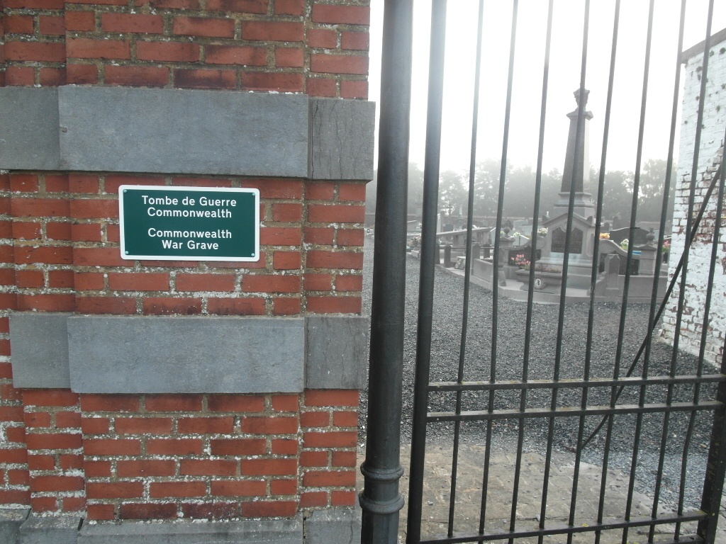
The town of Estinnes-au-Mont is located south of La Louviere on the N563. From the E19 motorway turn off at junction 21 and onto the N55 direction Binche. Follow the N55 to Saint-Vaast and the junction with the N27, turn right onto the N27 and follow to the end and the junction with the N90. Turn left onto the N90 direction Binche, follow the N90 to the junction with the N563 and turn right onto the N563 direction Estinnes. On entering Estinnes go over the crossroads and then take the third turning on the left, chemin de La Sainte, the cemetery is along here on the left. The graves are located to the right of the entrance.
History information
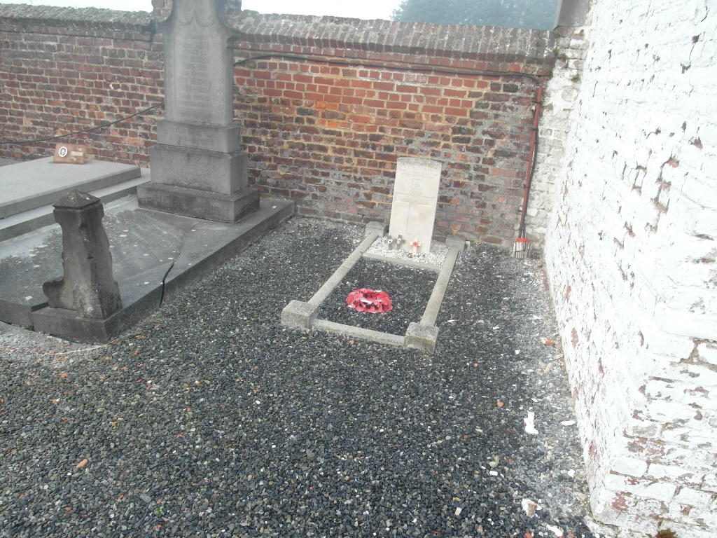
Estinnes-au-Mont Communal Cemetery contains one Commonwealth burial of the First World War.