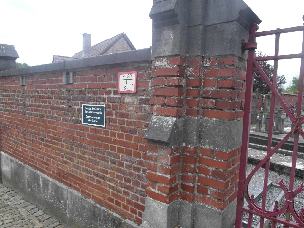
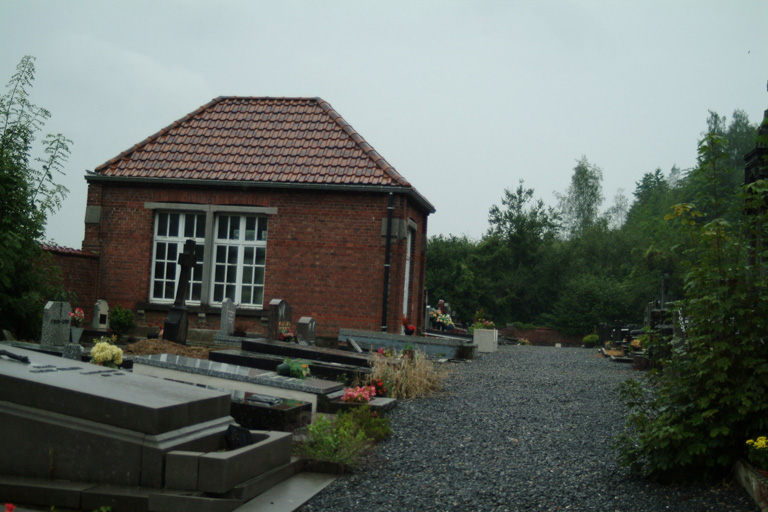
Ciply Communal Cemetery
- Country Belgium
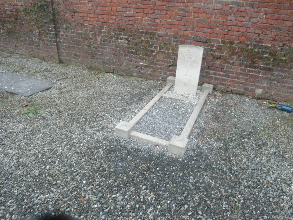
- Total identified casualties 1 Find these casualties
- Region Hainaut
- Identified casualties from First World War
- GPS Coordinates Latitude: 50.41405, Longitude: 3.94301
Location information
The village of Ciply is located south of Mons on the N6. From the E19/E42 motorway turn off at junction 24 direction Mons and follow to the ring R50. Follow the ring in either direction to the junction with the N6, turn onto the N6 direction Ciply. On entering the village the road bears left and there is a church on the left. Take the next right turn into rue Fassiau. Follow the road (bearing left at the first two junctions) as it becomes rue Hector Charlez and then rue Hauzeur. At the cross roads carry on straight across into rue Brunehaut. The cemetery is about 100m beyond the junction on the left.
History information
Ciply Communal Cemetery contains one Commonwealth burial of the First World War.