Cloghy (Or Cloughey) Presbyterian Churchyard
- Country United Kingdom
- Total identified casualties 1 Find these casualties
- Region County Down
- Identified casualties from First World War
- GPS Coordinates Latitude: 54.42872, Longitude: -5.48044
History information
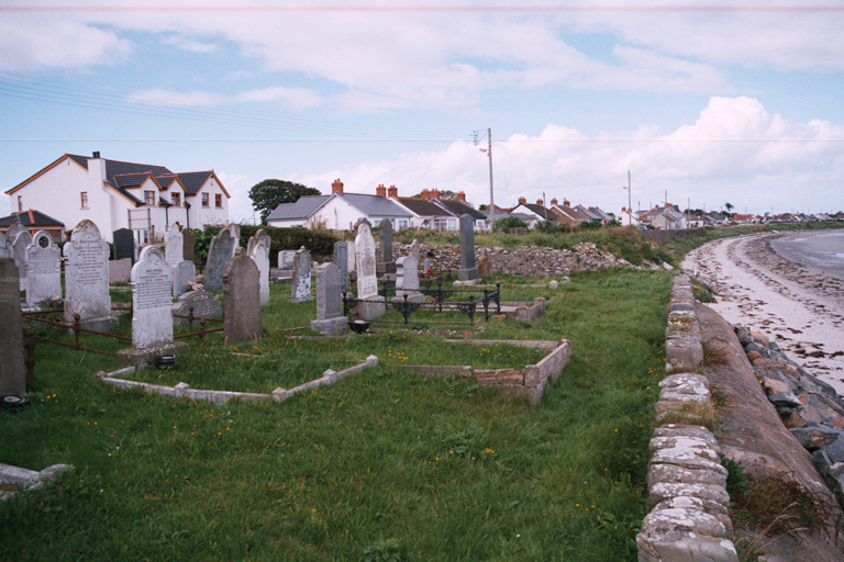
This is on the Main Road (the road to Portavogie), close to the sea. There is 1 Commonwealth burial of the 1914-1918 war here.