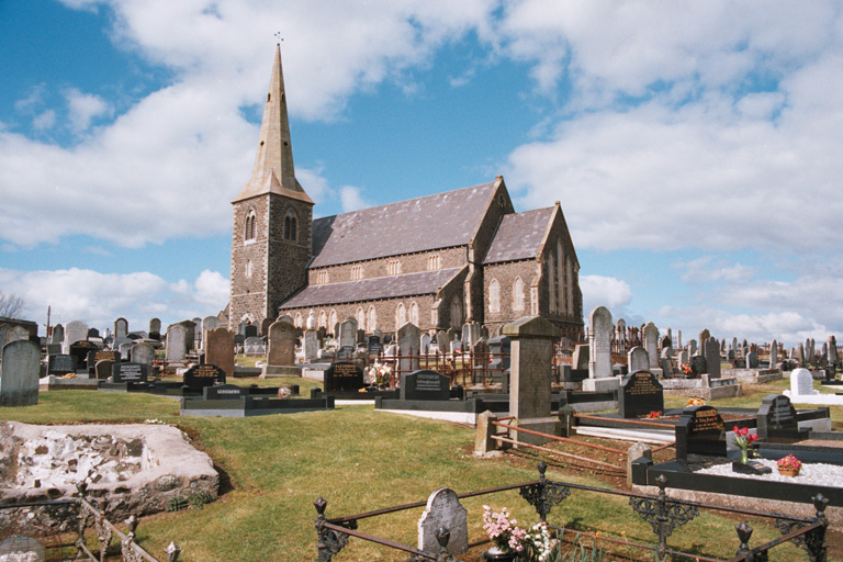
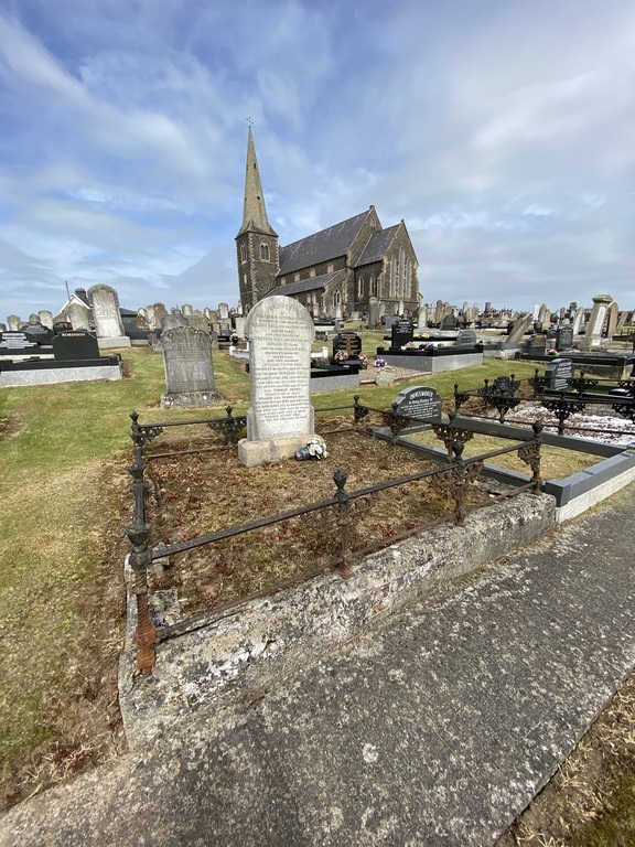
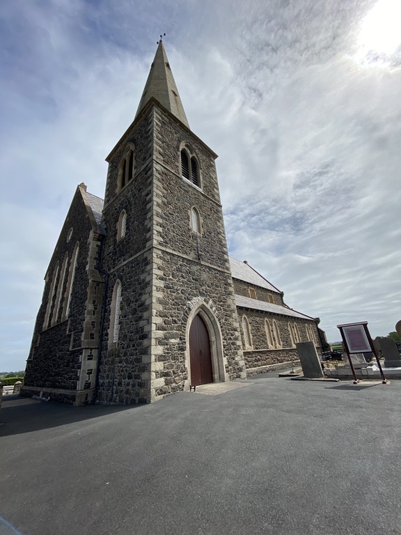
Drumcree Church Of Ireland Churchyard
- Country United Kingdom
- Total identified casualties 11 Find these casualties
- Region County Armagh
- Identified casualties from First & Second World War
- GPS Coordinates Latitude: 54.44042, Longitude: -6.45992
History information
This is two miles North of Portadown, and has been extended to the North. There are 6 Commonwealth burials of the 1914-1918 war and 5 of the 1939-1945 war here.