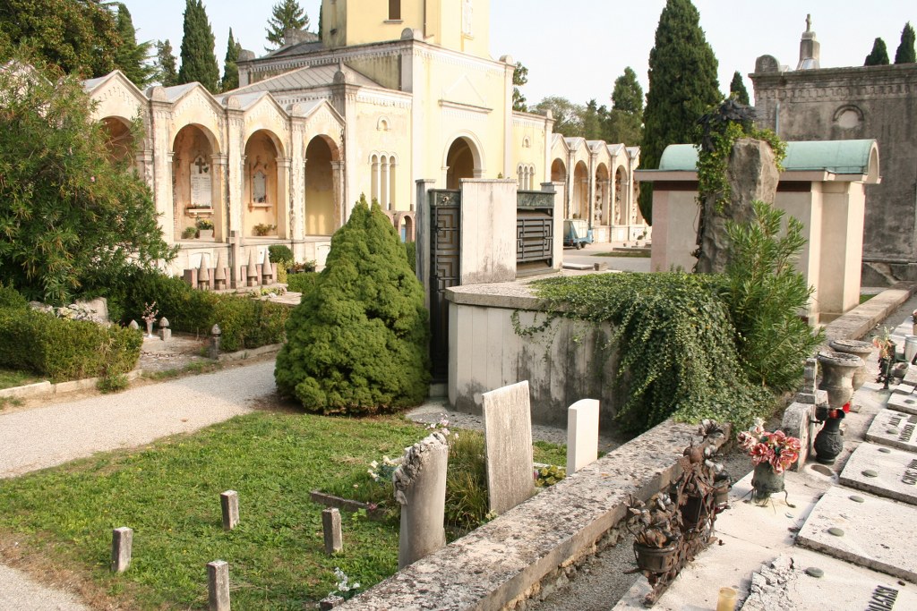
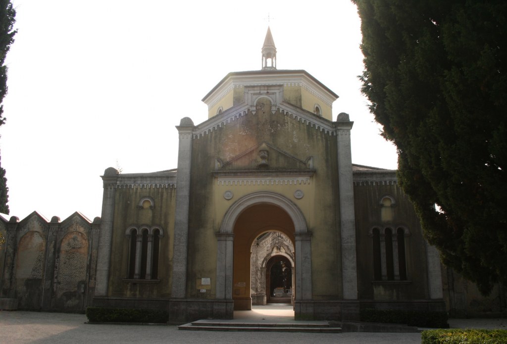
Conegliano (San Giuseppe) Communal Cemetery
- Country Italy
- Total identified casualties 1 Find these casualties
- Identified casualties from First World War
- GPS Coordinates Latitude: 45.88171, Longitude: 12.31114
Location information
From Treviso take the SS13 North (or A27 Autostrada) towards Udine. As you enter the town of Conegliano pass under the railway bridge and at the third set of traffic lights turn left into Via Matteotti. Continue for approximately 800 metres and turn sharp left into the Via S. Giuseppe. The cemetery will be found on the right of this road. Enter the cemetery through the large arch and take the second gravel path to the right. The single grave will be found on the left of this path after passing three large tombs. Cemetery Address: Via San Giuseppe, n. 34 - 31015 Conegliano (TV). GPS Co-ordinates: 46.689148, 12.367151.
Visiting information
The cemetery is open between the hours of 08.00 and 17.30 in winter and 08:00 and 18:15 in summer. It has good parking facilities.
For further information and enquiries please contact enquiries@cwgc.org
History information
The Italians entered the war on the Allied side, declaring war on Austria, in May 1915. Commonwealth forces were at the Italian front between November 1917 and November 1918, and rest camps and medical units were established at various locations in northern Italy behind the front, some of them remaining until 1919. Conegliano (san Giuseppe) Communal Cemetery contains one Commonwealth burial of the First World War which was brought in after the Armistice from the Austrian extension of the old communal cemetery.


