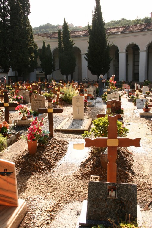
Oneglia Town Cemetery
- Country Italy
- Total identified casualties 2 Find these casualties
- Identified casualties from First World War
- GPS Coordinates Latitude: 43.89885, Longitude: 8.03795
Location information
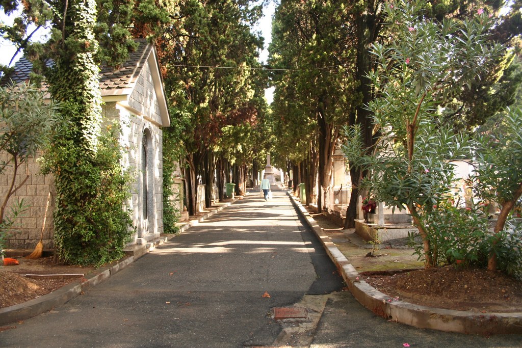
The cemetery is near the coast, 26 kilometres East of San Remo. Exit at the A10 autostrada at Imperia East. On leaving the motorway come downhill for 2 kilometres and then the cemetery is visible on the left hand side. At the end of the road, turn left and after 50 metres turn left again where you can see the roadside direction signs for "Stadio" and "Cimitero". At the end of the path, the main entrance is visible with the stadium on the right. Cemetery Address: Via I. Pindemonte, 32 - 18100 Imperia (IM). GPS Co-ordinates: 43.89909, 8.03766.
Visiting information
WINTER OPENING TIMES:
8.00am - 12.00pm and 2.30pm - 5.00pm
SUMMER OPENING TIMES
8.00am - 12.00pm and 3.30pm - 6.00pm
For further information and enquiries please contact enquiries@cwgc.org
History information
The Italians entered the war on the Allied side, declaring war on Austria, in May 1915. Commonwealth forces were at the Italian front between November 1917 and November 1918, and rest camps and medical units were established at various locations in northern Italy behind the front, some of them remaining until 1919. From the Summer of 1917 until late 1918, the Mediterranean lines of communication for the British Salonika Force ran the length of Italy from Taranto in the south-east, to Turin in the north-west. Oneglia Town Cemetery contains two Commonwealth burials of the First World War.