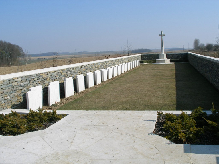
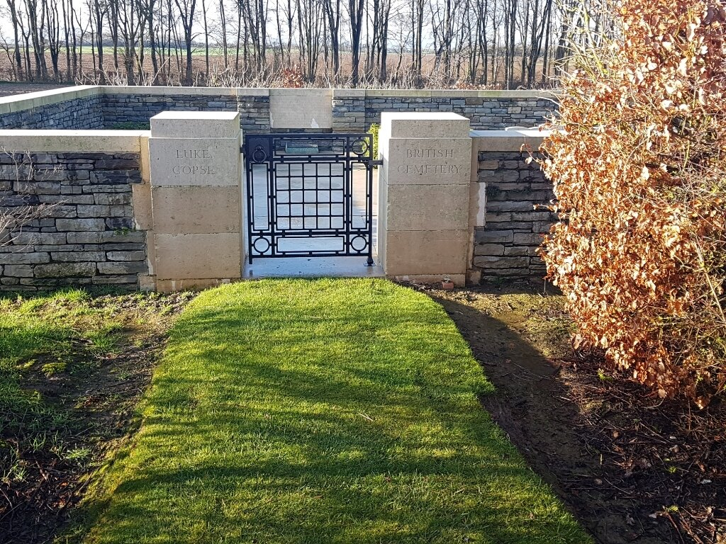
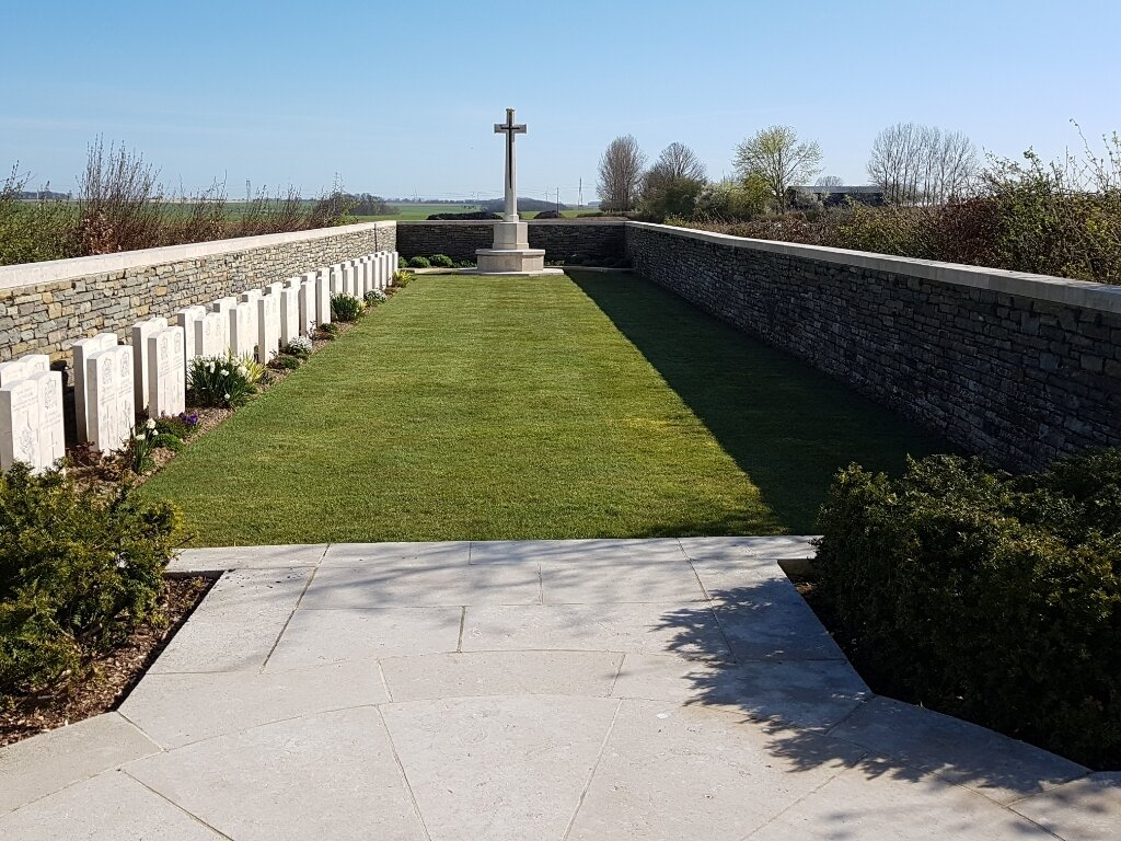
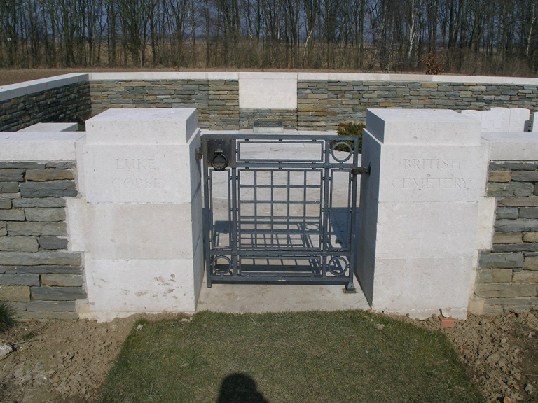
Luke Copse British Cemetery, Puisieux
- Country France
- Total identified casualties 44 Find these casualties
- Region Pas de Calais
- Identified casualties from First World War
- GPS Coordinates Latitude: 50.10774, Longitude: 2.6592
Location information
Using the D919 from Arras to Amiens you will drive through the villages of Bucquoy and Puisieux and then Serre-les-Puisieux (approximately 20 kilometres south of Arras). On leaving Serre-les-Puisieux, 600 metres further along the D919 there is a right hand turn onto a small lane which will take you directly to Luke Copse Cemetery. It must, however, be emphasised that this lane is not suitable for cars and buses. The register is available in the Mairie on Tuesday ; Thursday and Friday from 14.00 to 16.00 and Saturday from 10.00 to 12.00
Visiting information
Vehicles should be parked a further 100 metres along on the right hand side of the D919 in front of Serre Road Cemetery No.1, and visitors should then walk up the lane to Luke Copse British Cemetery.
The location or design of this site makes wheelchair access very difficult. For further information regarding wheelchair access, please contact our Enquiries Section on enquiries@cwgc.org or 01628 507200.
History information
The village of Puisieux was taken by Commonwealth forces on the 28 February 1917, lost on the 26 March 1918 and recovered on the following 21 August.
In the spring of 1917, the battlefields of the Somme and Ancre were cleared by V Corps and a number of new cemeteries were made. Luke Copse British Cemetery (originally known as V Corps Cemetery No. 19) is on the old front line of July 1916. It is named from one of four small plantations that were on or close behind that line, between Serre and Hebuterne. The graves are of casualties of the 31st and 3rd Divisions, who died in attacks on 1 July and 13 November 1916.
There are now 72 First World War burials in the cemetery, 28 of them unidentified.
The cemetery was designed by N A Rew.


