St. Remy-Chaussee Communal Cemetery
- Country France
- Total identified casualties 14 Find these casualties
- Region Nord
- Identified casualties from First World War
- GPS Coordinates Latitude: 50.17677, Longitude: 3.87519
Location information
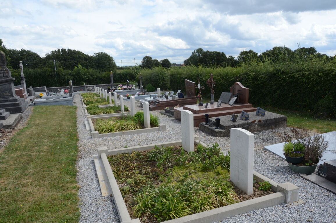
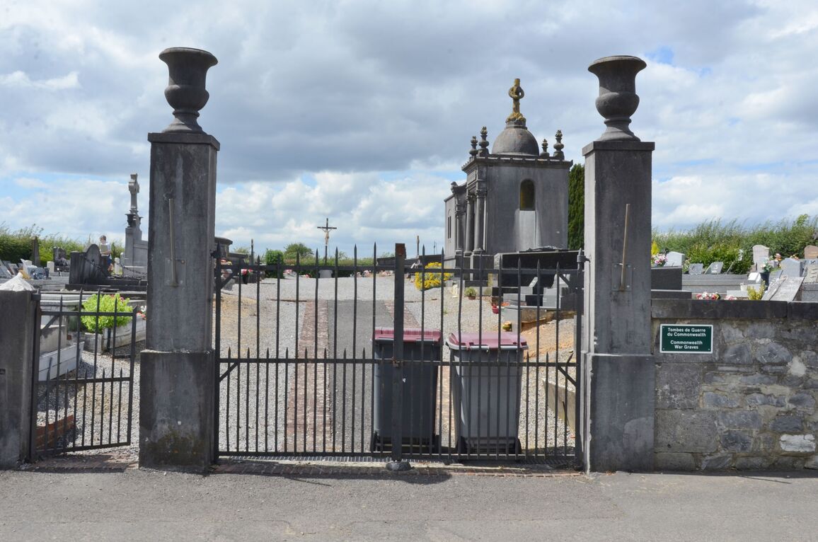
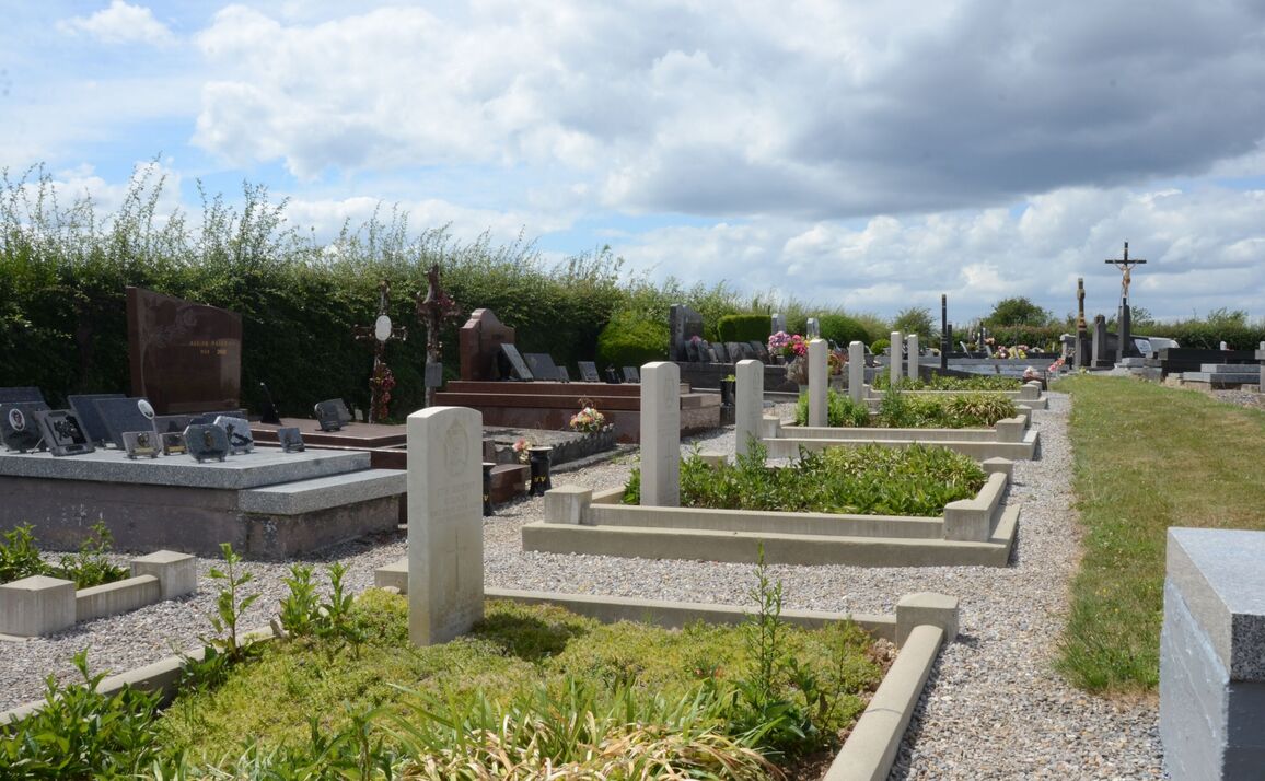
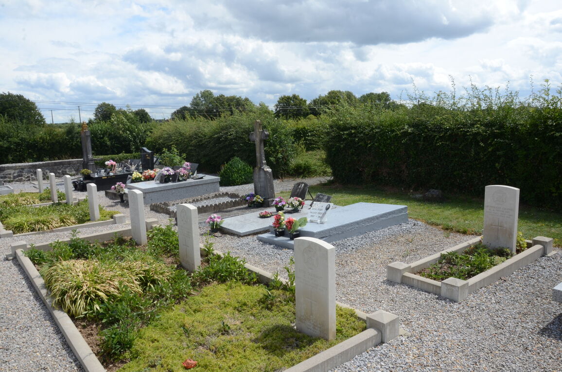
St. Remy-Chaussee is a village in the Department of the Nord, 4 kilometres south-east of Aulnoye-Aymeries on the D961. The Communal Cemetery is on the left hand side of a small road in the direction of Ecuelin on the outskirts of the village. The graves are on the left hand side of the main path.
History information
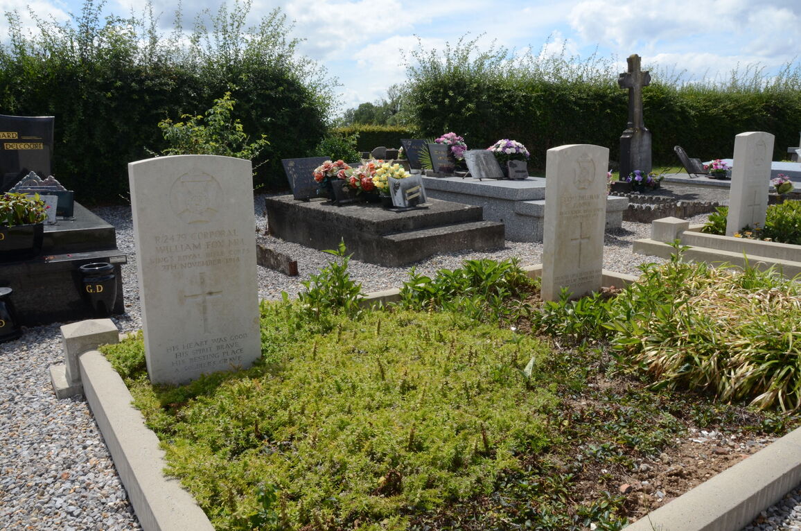
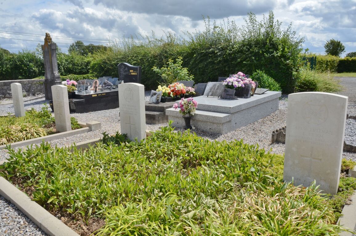
St. Remy-Chaussee contains 14 Commonwealth burials of the First World War.