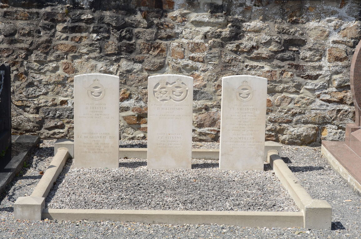
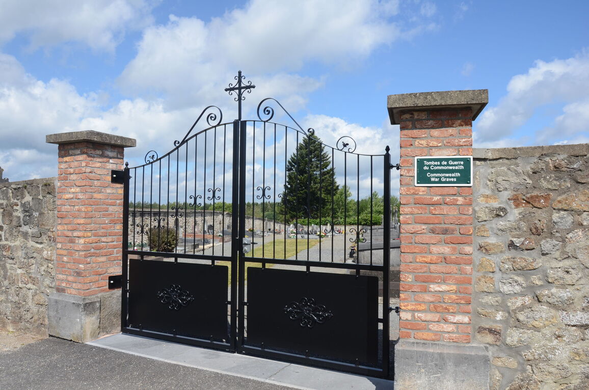
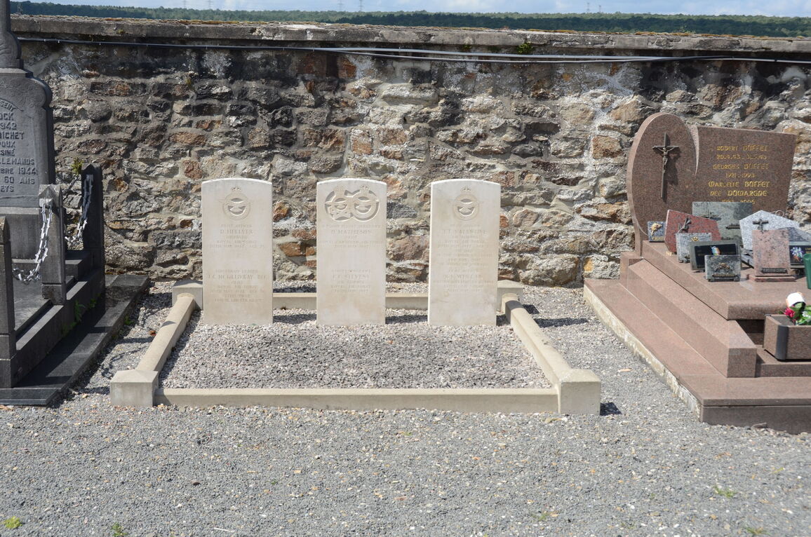
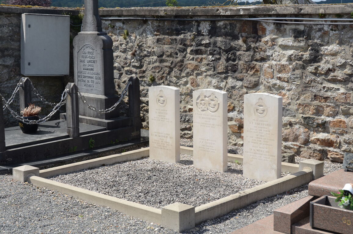
Hargnies Communal Cemetery, Ardennes
- Country France
- Total identified casualties 6 Find these casualties
- Region Ardennes
- Identified casualties from Second World War
- GPS Coordinates Latitude: 50.02114, Longitude: 4.78988
Location information
Hargnies is a village in the Department of the Ardennes near the Franco-Belgian frontier, 28 kilometres north of Mezieres and 6 kilometres north-east of Haybes, a town on the River Meuse. The Cemetery is 260 metres north of the village church.


