St. Leger-Les-Domart Communal Cemetery
- Country France
- Total identified casualties 1 Find these casualties
- Region Somme
- Identified casualties from First World War
- GPS Coordinates Latitude: 50.05811, Longitude: 2.13908
Location information
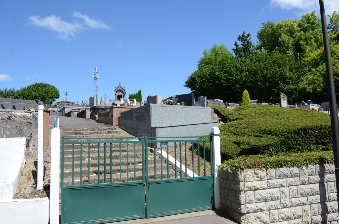
St Leger-les-Domart is a village and commune in the Department of the Somme. It lies in the valley of the Nievre, immediately west of Berteaucourt-les-Dames. The Communal Cemetery is north of the village, on the east side of the road to Domart.
History information
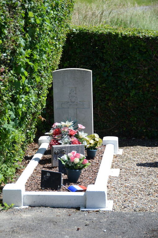
This communal cemetery contains one Commonwealth burial of the First World War.