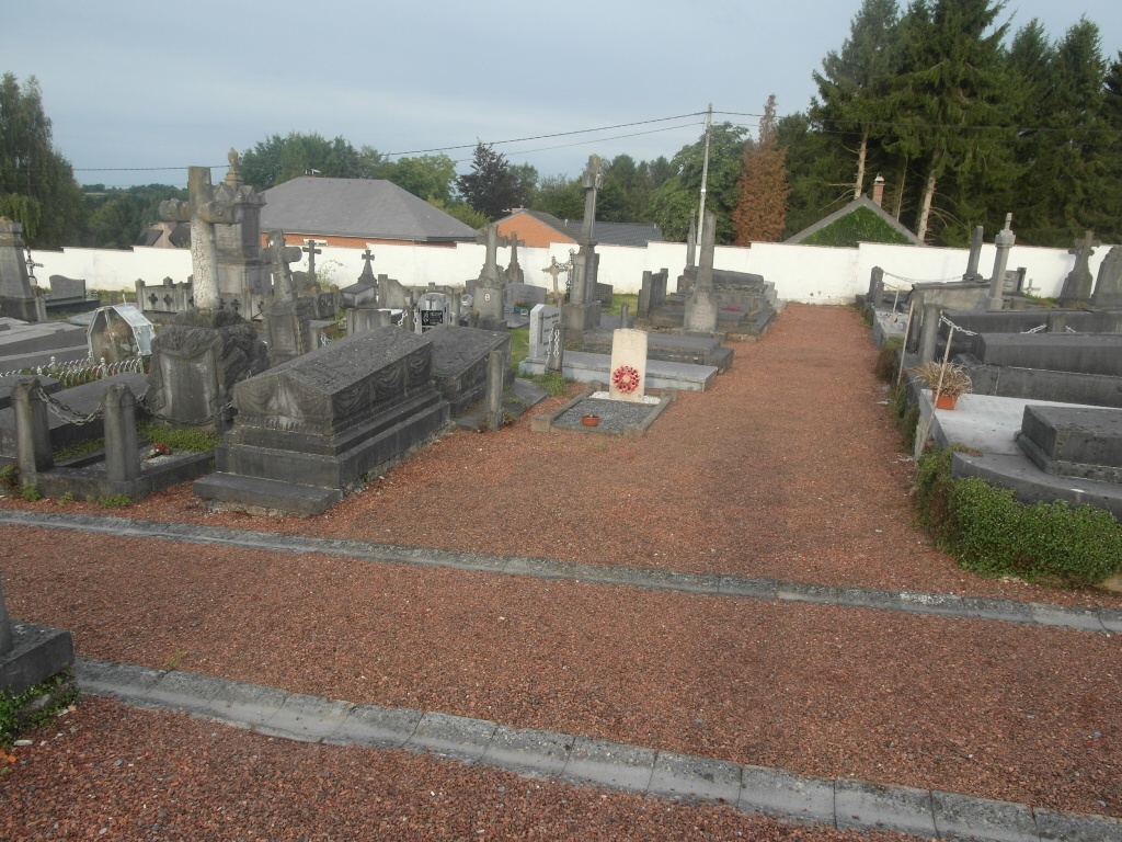
Sivry Communal Cemetery
- Country Belgium
- Total identified casualties 1 Find these casualties
- Region Hainaut
- Identified casualties from First World War
- GPS Coordinates Latitude: 50.16945, Longitude: 4.17912
Location information
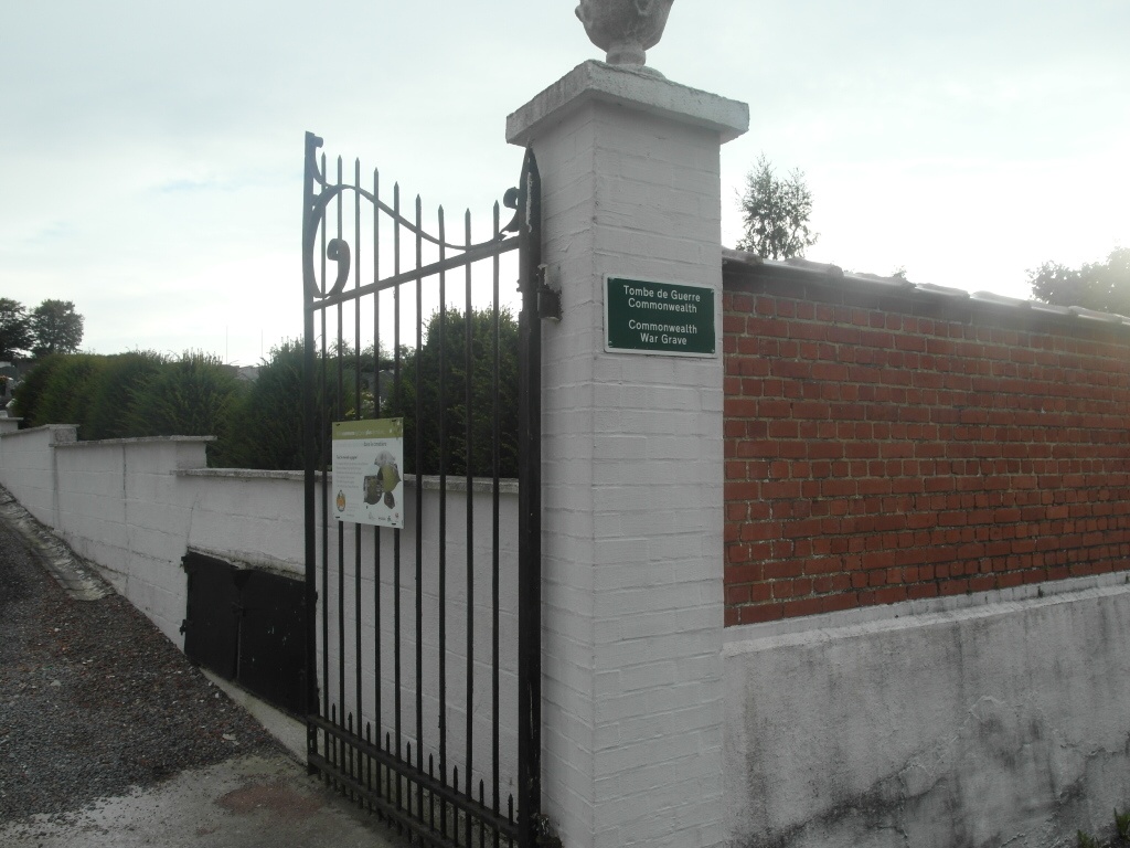
The village of Sivry is located south of the town of Thuin off the N53. From the motorway E42 turn off at the junction with the ring R3, then follow the R3 to junction 4, the N579. Follow the N579, direction Beaumont, to the junction with the N53, then continue along the N53 in the direction of Beaumont. Follow the N53 through Beaumont to the village of Sivry-Gare. Turn right here along Rue De Martinsart to Sivry. On entering the village follow the road round to the right past the church and turn left into Rue Du Cimetiere, the cemetery is along here on the right. The graves are located to the left of the entrance in the centre of the cemetery.
History information
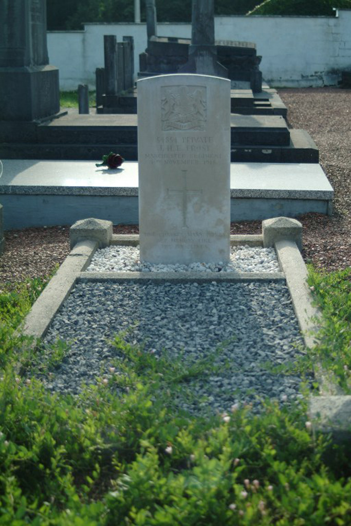
Sivry Communal Cemetery contains one Commonwealth burial of the First World War.