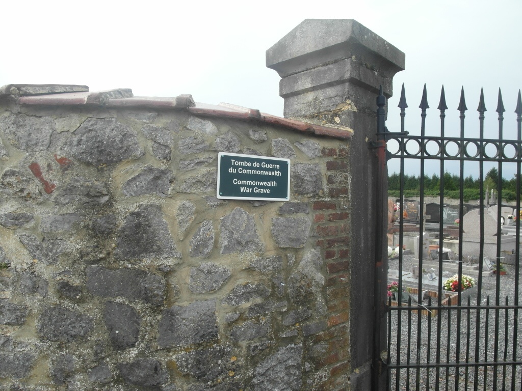
Hantes-Wiheries Communal Cemetery
- Country Belgium
- Total identified casualties 1 Find these casualties
- Region Hainaut
- Identified casualties from First World War
- GPS Coordinates Latitude: 50.30478, Longitude: 4.18041
Location information
The village of Hantes-Wiheries is located south-west of Charleroi off the N561. From the E42 motorway turn off at junction 18 and onto the N59 direction Anderlues. Follow the N59 to the junction with the N54, turn right along the N54/59 and at the next junction turn left back onto the N59. Follow the N59 to the junction with the N559 and fork right onto the N559, continue along the N559 to the junction with the N561. Turn right onto the N561 direction Fontaine-Valmont, continue along the N561 past Fontaine-Valmont to Hantes-Wiheries. Turn left into rue du Calvaire, go over the crossroads and then turn left into rue des Chapelles. The cemetery is along on the right and the graves are located to the right of the main path.
History information
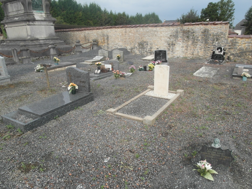
Hantes-Wiheries Communal Cemetery contains one Commonwealth burial of the First World War.