Dour Communal Cemetery
- Country Belgium
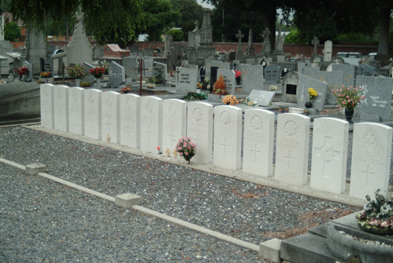
- Total identified casualties 14 Find these casualties
- Region Hainaut
- Identified casualties from First World War
- GPS Coordinates Latitude: 50.39307, Longitude: 3.77533


Location information
The town of Dour is located south-west of Mons on the N552. From the E19 motorway turn off at junction 26 onto the N552 direction Thulin and follow the N552 to Dour. Continue along the N552 to the junction with the N549, at this junction turn right into Avenue Victor Regnart and the cemetery is on the right. The graves are located to the left of the centre path.
History information
Dour Communal Cemetery contains 14 Commonwealth burials of the First World War, all dating from November 1918.