Angre Communal Cemetery
- Country Belgium
- Total identified casualties 11 Find these casualties
- Region Hainaut
- Identified casualties from First World War
- GPS Coordinates Latitude: 50.37073, Longitude: 3.69872
Please note
Please note that the parking space for this cemetery is on an intersection making it challenging for visitors to get out of their vehicles.
Location information
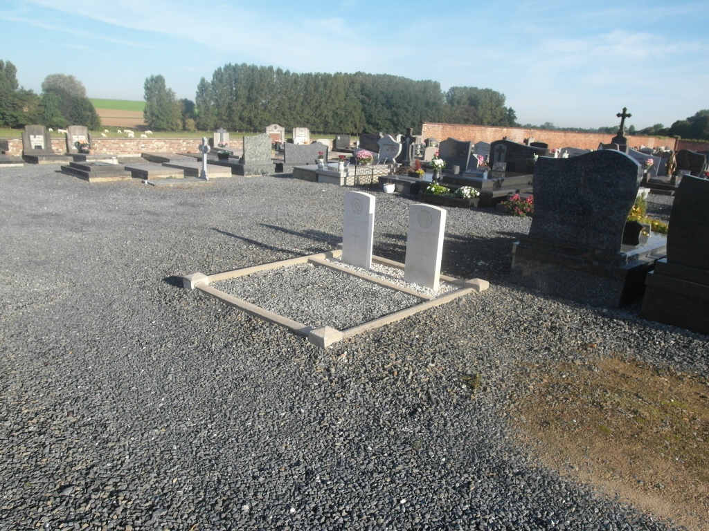
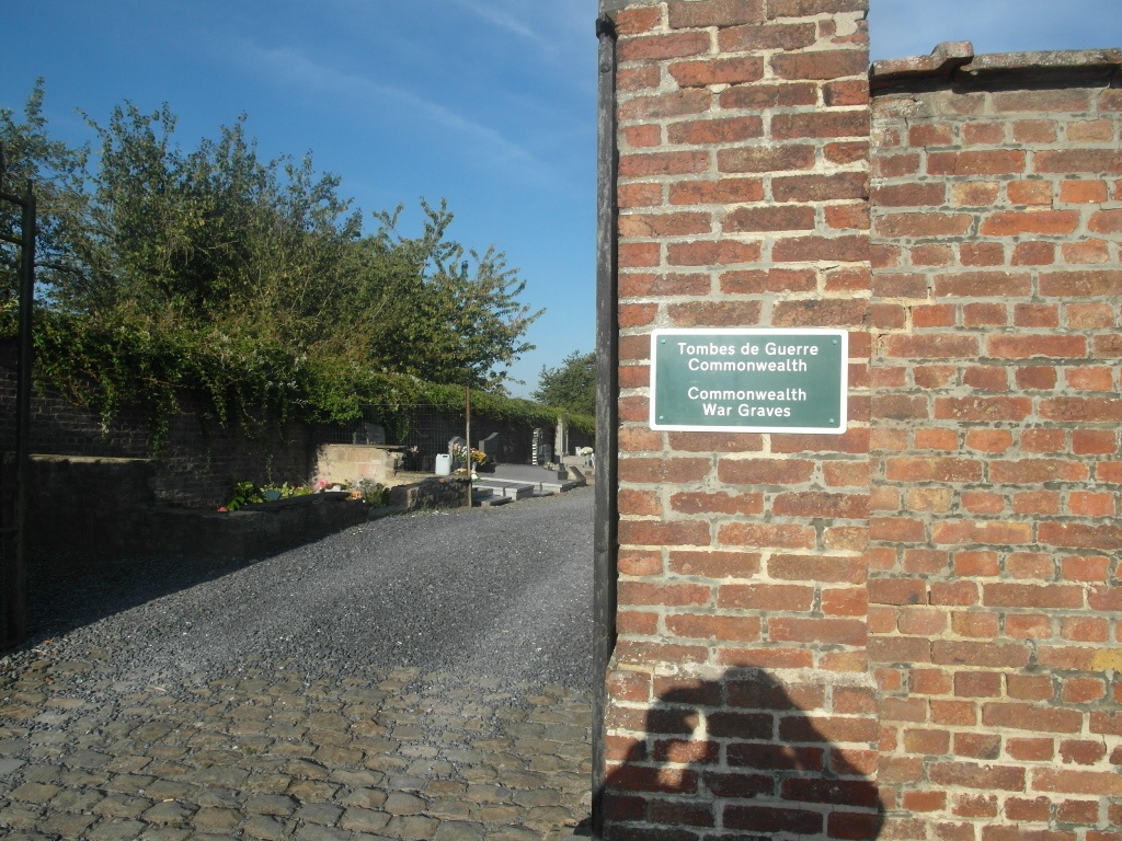
The village of Angre is located south-west of the town of Mons on the N553. From the motorway E19, which runs between Mons and Valenciennes, turn off at junction 26 onto the N552 in the direction of Thulin/Dour. Follow the N552 to the Town of Dour and the junction with the N553, turn onto the N553 in the direction of Angre/Audregnies. On entering the village of Angre the road bears to the left and there is a junction off to the right signed Baisieux, the cemetery is by this junction in rue E.Cornez. The graves are located in two plots. Go through the main entrance and follow the left hand path along the wall, the first plot is on the left. For the second plot follow the same path along the wall towards the morgue and the graves are behind the first row on the right nearly at the end of the path.
History information
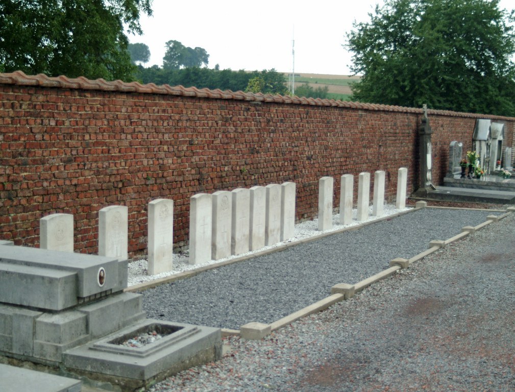
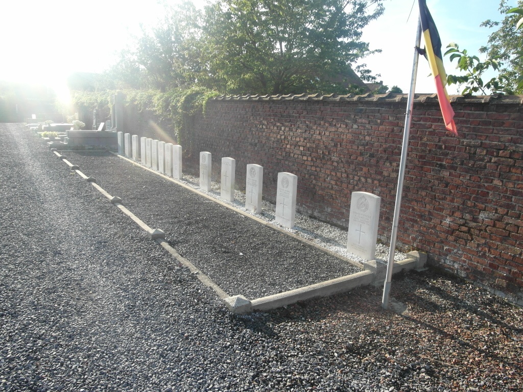
Angre Communal Cemetery contains 16 Commonwealth burials of the First World War, five of which are unidentified. They date from August 1914 and October-December 1918, and in most cases were brought into the cemetery after the Armistice.