Tamines Communal Cemetery
- Country Belgium
- Total identified casualties 1 Find these casualties
- Region Namur
- Identified casualties from First World War
- GPS Coordinates Latitude: 50.43359, Longitude: 4.59944

Location information
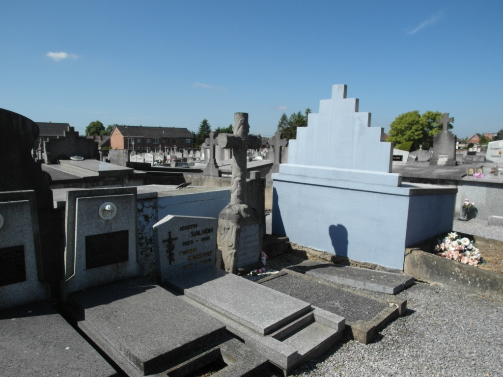
The town of Tamines is located east of the town of Charleroi on the N988. From the motorway E42/A15 which runs between Charleroi and Liège turn off at junction 14 onto the N98 direction Sambreville, Follow the N98 past the junction with the N90 and into the town of Tamines. Cross the railway and continue to the main road junction in the town, turn sharp right along Rue de la Passerelle and then bear left into Rue des Bacheres. The cemetery is along here on the right. The grave is marked by a private family memorial in the form of a rustic cross on a block plinth. To locate the grave, walk through the entrance and follow the path straight ahead. When about 10m before the rear boundary look to the left and the grave can be seen amongst a group of graves all facing the rear wall of the cemetery.
History information
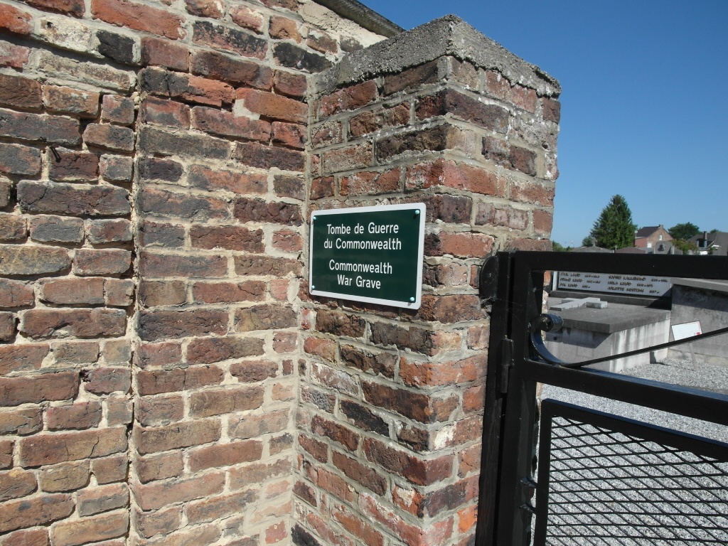
Tamines Communal Cemetery contains one Commonwealth burial of the First World War.