Dinant Communal Cemetery
- Country Belgium
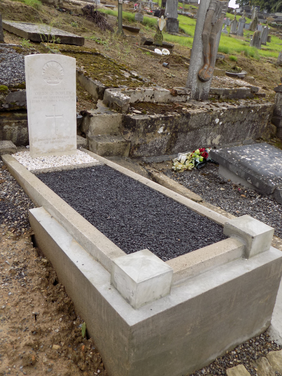
- Total identified casualties 1 Find these casualties
- Region Namur
- Identified casualties from First World War
- GPS Coordinates Latitude: 50.25036, Longitude: 4.88627
Location information
The town of Dinant is located on the junctions of the N96/92. From the motorway E411/A4 which runs between Brussels and Luxembourg turn off at junction 15 onto the N90, direction Namur. Follow the N90 until signs for the N92 are shown then follow the N92 direction Dinant. From Dinant follow the N936, direction Phillipville. The cemetery is approximately 2 kilometres out from the centre of the town at a point where the houses end. It is set back from the left hand side of the road with its own parking area. From the entrance follow the main path to the 6th pair of steps, turn left towards the Belgian memorial and the Commonwealth war grave is on the right.
History information
Dinant Communal Cemetery contains one Commonwealth burial of the First World War.