Spa Communal Cemetery
- Country Belgium
- Total identified casualties 4 Find these casualties
- Region Liege
- Identified casualties from First World War
- GPS Coordinates Latitude: 50.4957, Longitude: 5.86145
Location information
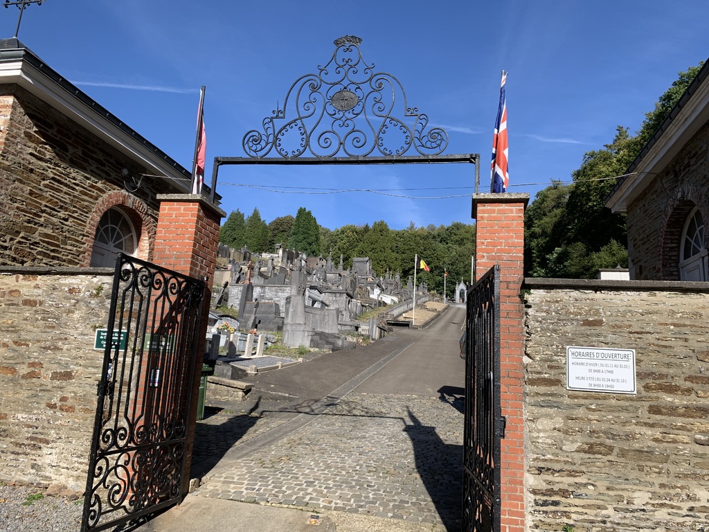
From the motorway E40/A3 which runs between Liege and Aachen turn onto the motorway E42/A27. Follow the motorway to junction 8, turn off here and follow the signs to Spa. Follow the road into Spa to the junction with the N62, turn right here direction Verviers. This road is called Avenue Rene Astrid, follow past the hospital on the right and take the next turn on the right called Rue Hanster. At the end turn left into Promenade Des Francais, then turn first right into Avenue Des Platanes, the cemetery is along on the left. The graves are located through the main entrance and in the first plot on the left.
History information
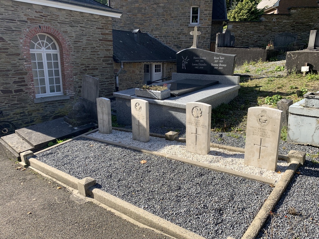
Spa Communal Cemetery contains four Commonwealth burials of the First World War.


