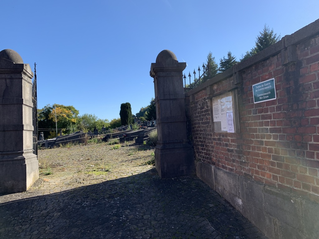
Pepinster Communal Cemetery
- Country Belgium
- Total identified casualties 1 Find these casualties
- Region Liege
- Identified casualties from First World War
- GPS Coordinates Latitude: 50.56761, Longitude: 5.80734
Location information
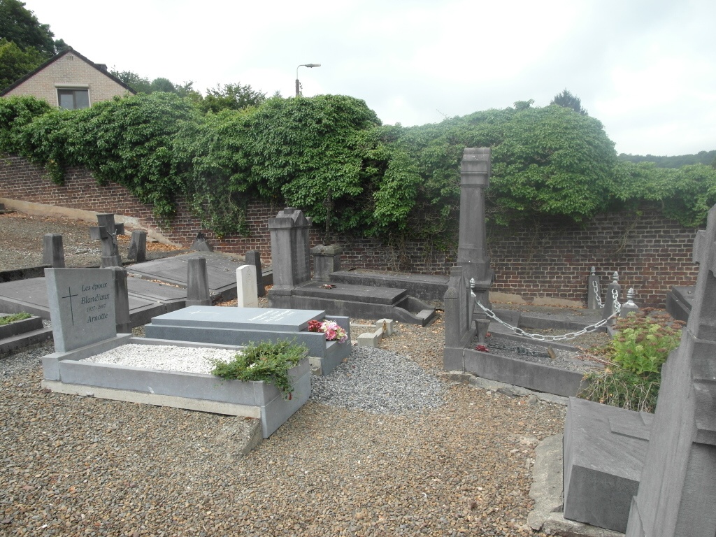
The village of Pepinster is located south-west of the town of Verviers off the N61. From the motorway E40/A3 which runs between Liege and Aachen turn off at the junction with the E42/A27 direction Verviers. Follow the motorway E42 to junction 5 and turn onto the N61 direction Pepinster. At the junction with the N690 turn left onto the N690 and directly after the railway turn left again and follow this road over another railway and into Rue De L'Hospice, the cemetery is along on the right. The grave is located in the bottom right hand corner of the cemetery. From the entrance gate turn sharp right and the headstone can be seen close to the boundary wall.
History information
Pepinster Communal Cemetery contains one Commonwealth burial of the First World War.