Avin Communal Cemetery
- Country Belgium
- Total identified casualties 1 Find these casualties
- Region Liege
- Identified casualties from First World War
- GPS Coordinates Latitude: 50.62417, Longitude: 5.06667
Location information
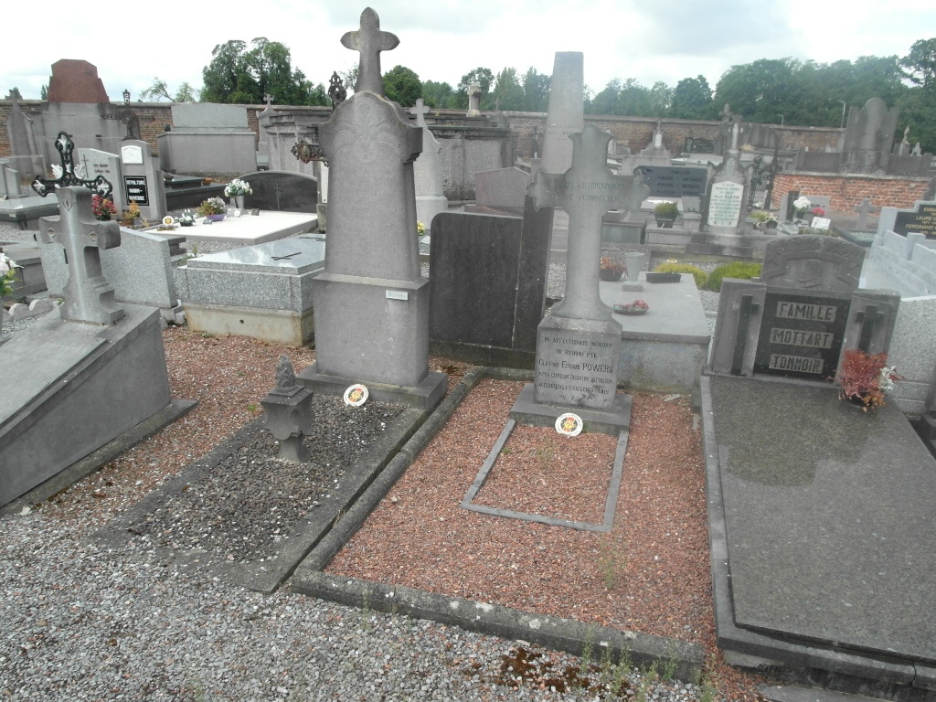
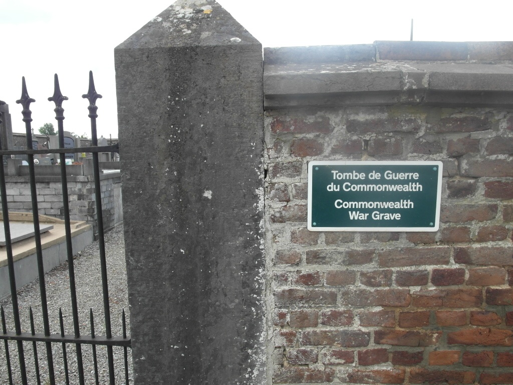
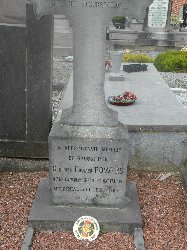
The village of Avin is located south-west of the town of Waremme on the N80. From the motorway E40/A3 which runs between Brussels and Liege, turn off at junction 27 onto the N64 direction Hannut. Follow the N64 into Hannut to the junction with the N80, turn right onto the N80 direction Namur. Go past the junction with the N69 and through the village of Moxhe, at the next crossroads turn right towards Avin along rue Tige Jaquette. Take the second turning right into rue d'Atrive, follow along round the sharp left hand bend into ruelle des Mottes and the cemetery is along on the right. The single Commonwealth war grave is marked by a private memorial in the form of a granite cross and is located at the right hand side of the chapel.
History information
Avin Communal Cemetery contains one Commonwealth burial of the First World War.