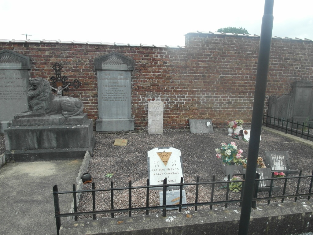
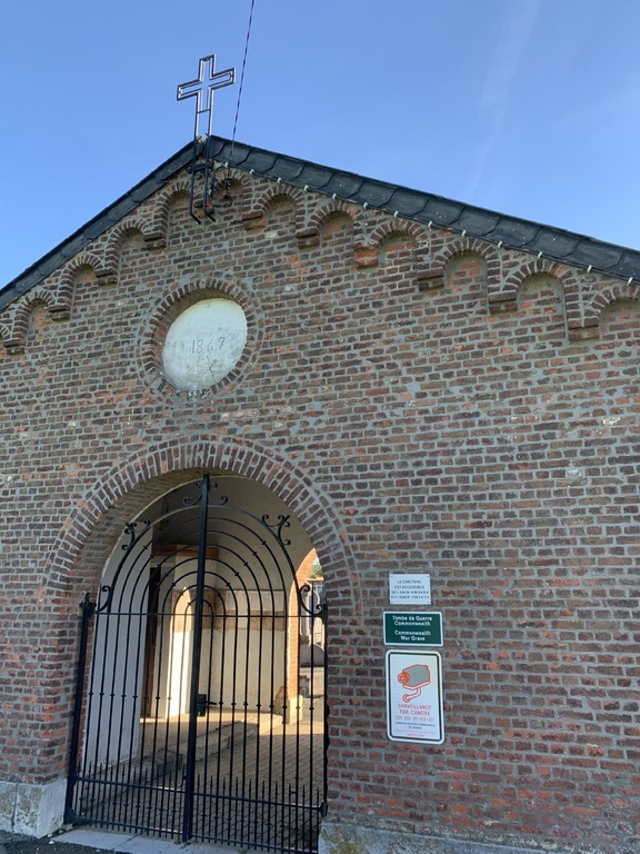
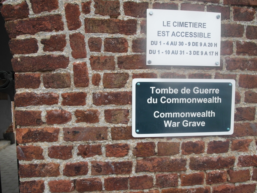
Antheit Communal Cemetery
- Country Belgium
- Total identified casualties 1 Find these casualties
- Region Liege
- Identified casualties from First World War
- GPS Coordinates Latitude: 50.55267, Longitude: 5.23659
Location information
The village of Antheit is located north-east of the town of Huy on the N65. From the motorway E42/A15 which runs between Liege and Namur turn off at junction 6 and onto the N65 direction Huy. Follow the N65 until it runs by the railway and the river on the left, turn right along here into rue Thier Boutique direction Antheit. Follow towards the village, bear right at the first fork into rue des Chasseurs Ardennais and to the T junction, turn left into rue Malvoz then first right into rue Thier De Messe and first left past the church, the cemetery is along here on the right. The graves are located at the end of the main alley against the wall.
History information
Antheit Communal Cemetery contains one Commonwealth burial of the First World War.