Fromiee Communal Cemetery
- Country Belgium
- Total identified casualties 1 Find these casualties
- Region Hainaut
- Identified casualties from First World War
- GPS Coordinates Latitude: 50.32982, Longitude: 4.57423
Location information
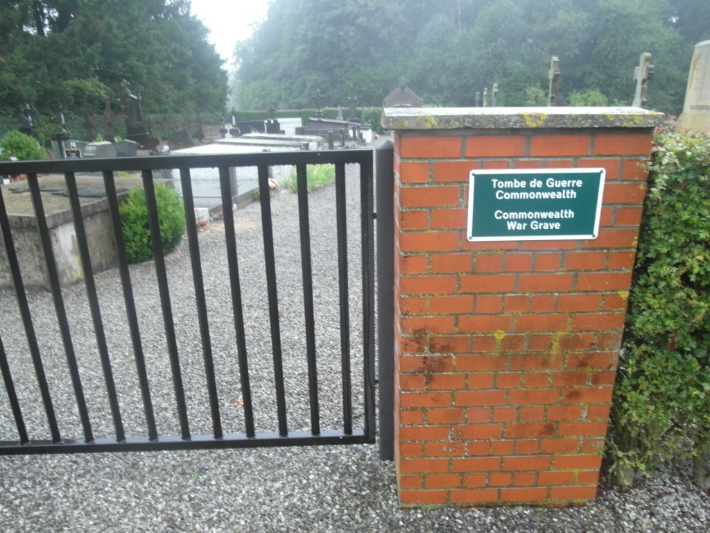
The village of Fromiee is located south-east of Charleroi on the N574. From the E42 motorway turn off at the junction with the ring R3. Follow the ring R3 to the junction with N5, turn onto the N5 direction Philippeville. Follow the N5 through the village of Loverval to the junction with the N574. Turn left and follow the N574 through Gerpinnes to Fromiee. In the village of Fromiee turn right towards Hymiee go over the crossroads and the cemetery is along here. The graves are located to the right of the entrance.
History information
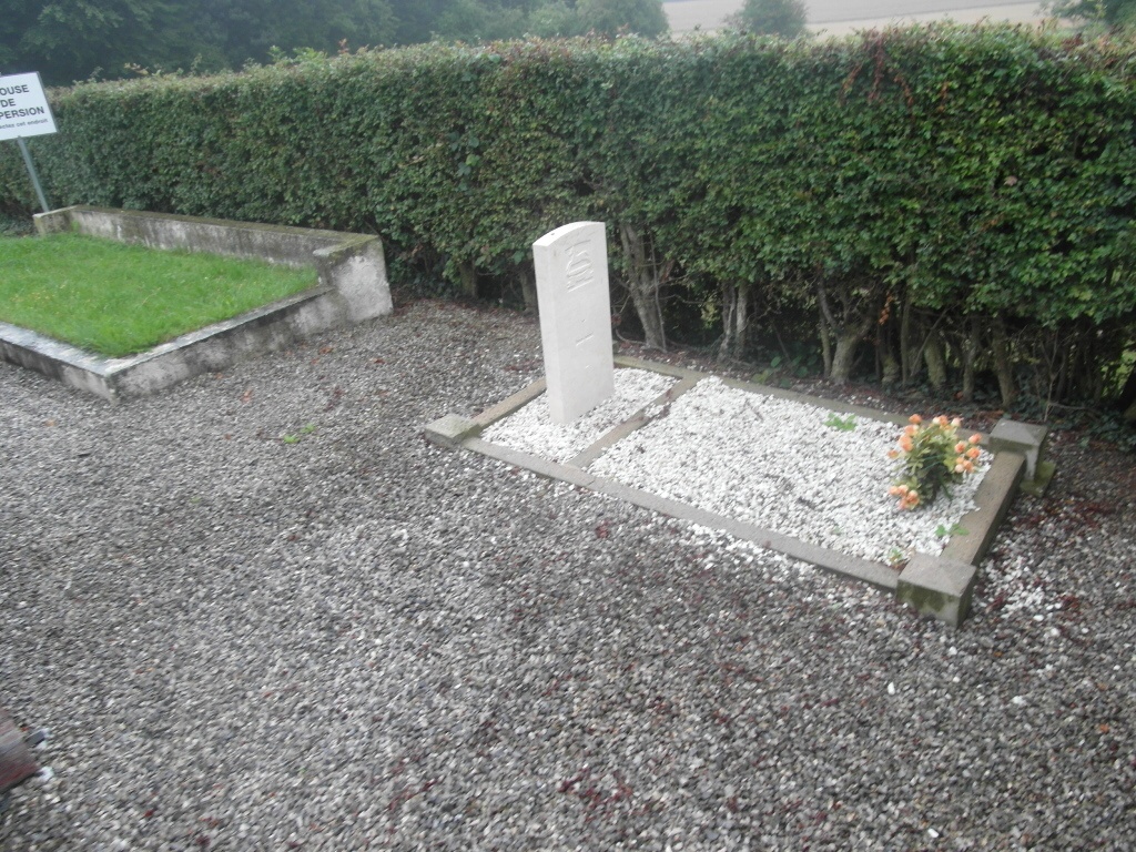
Fromiee Communal Cemetery contains one Commonwealth burial of the First World War.