Houyet Churchyard
- Country Belgium
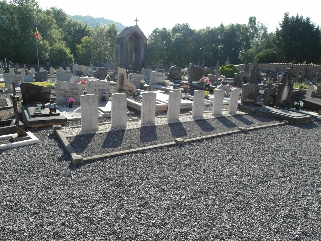
- Total identified casualties 25 Find these casualties
- Region Namur
- Identified casualties from First & Second World War
- GPS Coordinates Latitude: 50.18532, Longitude: 5.01144
Location information
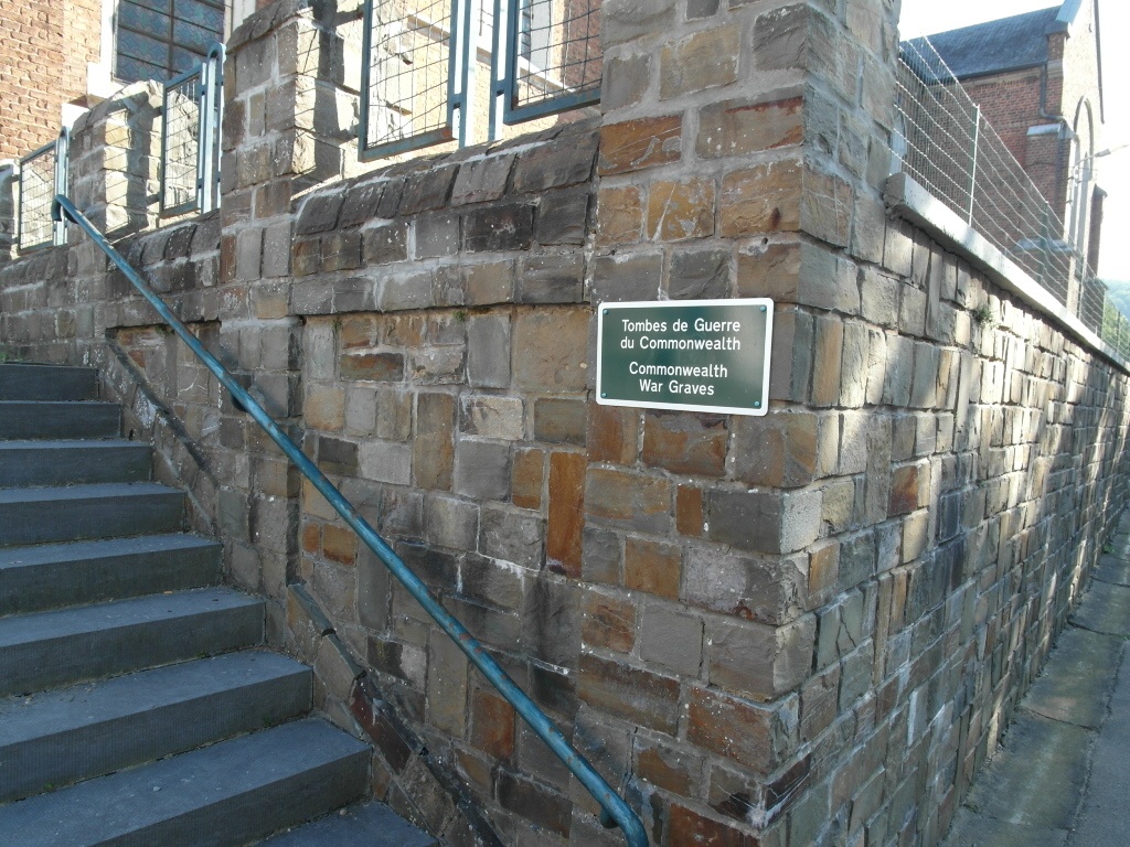
The village of Houyet is located south of the town of Dinant on the N929. From the motorway E411/A4 which runs between Namur and Luxembourg turn off at junction 22 onto the N94 direction Dinant. Follow the N94 to the junction with the N929 and turn left here direction Houyet/Finnevaux. Follow this road along into the village of Houyet and turn right over the railway to the centre. Follow the road round to the right and the church is on the left in Rue de L'Eglise. The graves are located at the rear of the church.
History information
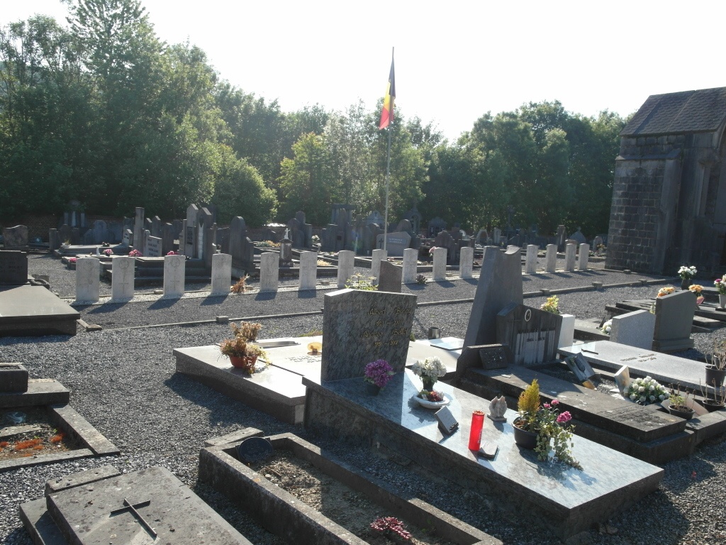
The 53rd Casualty Clearing Station was posted in the village of Houyet from December 1918 to May 1919. Houyet Churchyard contains 23 Commonwealth burials of the First World War and two from the Second World War.