Vogenee Communal Cemetery
- Country Belgium
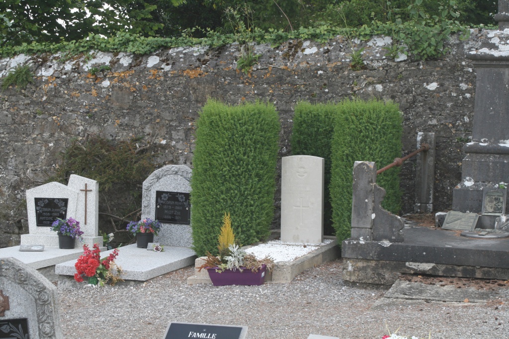
- Total identified casualties 1 Find these casualties
- Region Namur
- Identified casualties from First World War
- GPS Coordinates Latitude: 50.23852, Longitude: 4.44645
Location information
The village of Vogenee is located north of the town of Philippeville off the N978. From the motorway E42/A15 which runs between Lille and Liege turn off onto the ring R3 which runs round Charleroi, follow the ring to the junction with the N5 and turn onto the N5 direction Philippeville. Follow the N5 to the junction with the N978 at Somzee, turn onto the N978 direction Chastres and follow this road to the village of Walcourt, in Walcourt turn left for Vogenee. The cemetery is on the road to Daussois called Rue De Dassois. The graves are located along the right hand boundary wall.
History information
Vogenee Communal Cemetery contains one Commonwealth burial of the First World War.