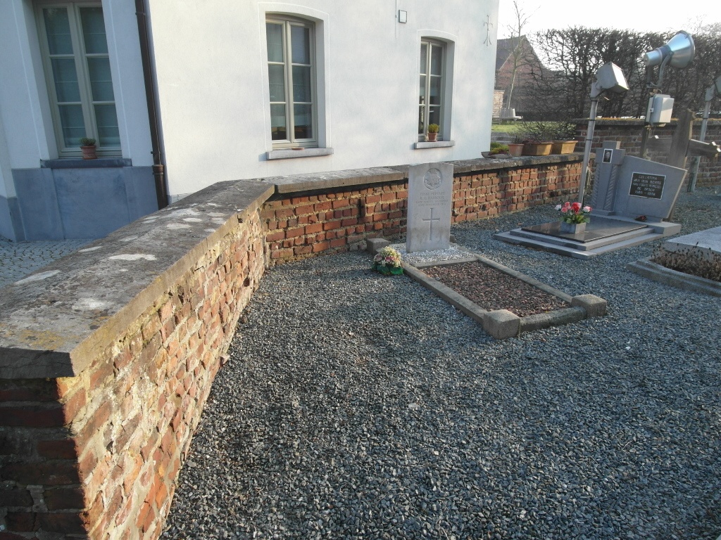
Wambeek Churchyard
- Country Belgium
- Total identified casualties 1 Find these casualties
- Region Vlaams-Brabant
- Identified casualties from First World War
- GPS Coordinates Latitude: 50.8527, Longitude: 4.16207
Location information
The village of Wambeek is located south of Ternat on the N285 which runs between Ternat and St-Kwintens-Lennik. From the motorway E40 turn off at junction 20 Ternat and onto the N285 direction Ninove-Lennik. After crossing the railway lines for the second time take the second turning on the left called Stenebrugstraat. Follow this road into Wambeek and the church is in the village centre on the right. The grave is located close to the North boundary of the churchyard to the left of the main entrance.
History information
Wambeek Churchyard contains one Commonwealth burial of the First World War.