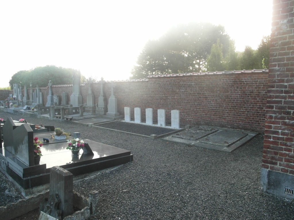
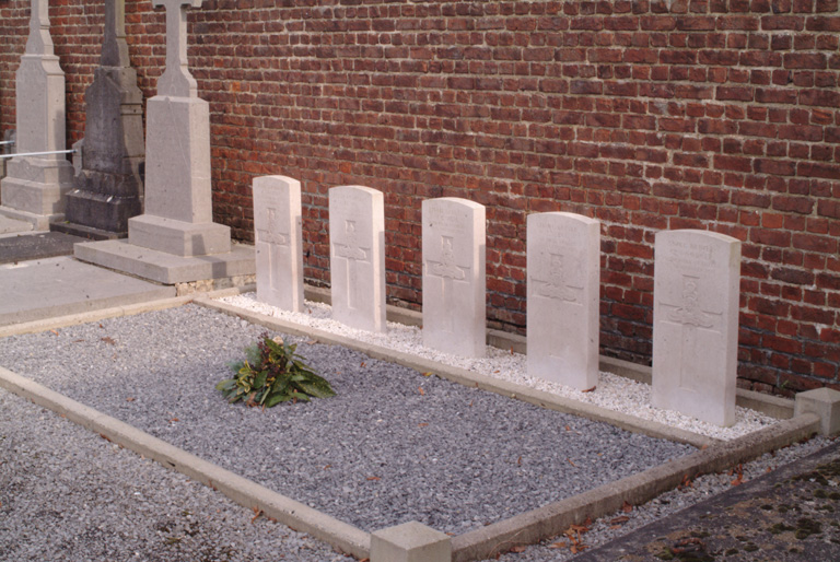
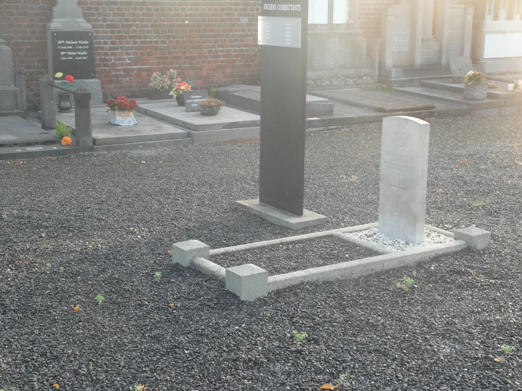
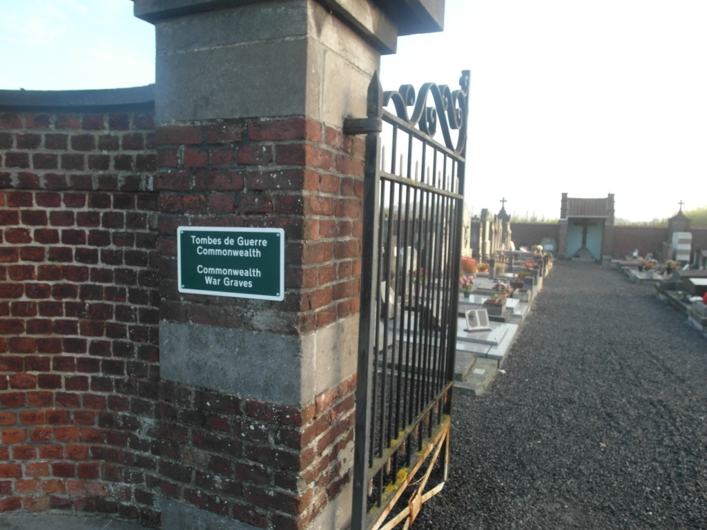
Lesdain Communal Cemetery
- Country Belgium
- Total identified casualties 6 Find these casualties
- Region Hainaut
- Identified casualties from First World War
- GPS Coordinates Latitude: 50.5217, Longitude: 3.38402
Location information
The village of Lesdain is located south of the town of Tournai off the N52. From the motorway E42 turn off at junction 31 onto the N52 direction Antoing. Follow the N52 past the junction with the N507 and continue along the N52 direction St-Amand (France). In the town of Bleharies turn right and follow the main road to the village of Rongy. In the village turn right into rue Rosee direction Lesdain. On entering the village the church stands in the centre and the cemetery is near the church. The graves are located to the right of the main path.
History information
Lesdain Communal Cemetery contains six Commonwealth burials of the First World War, all dating from October 1918 and the Advance to Victory.