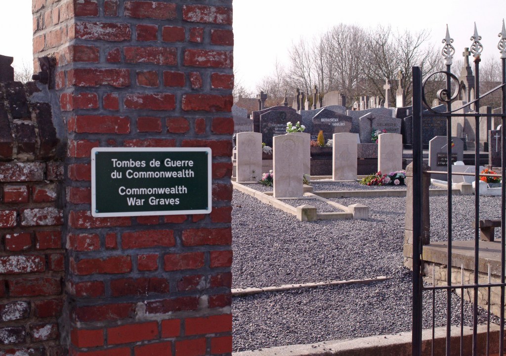
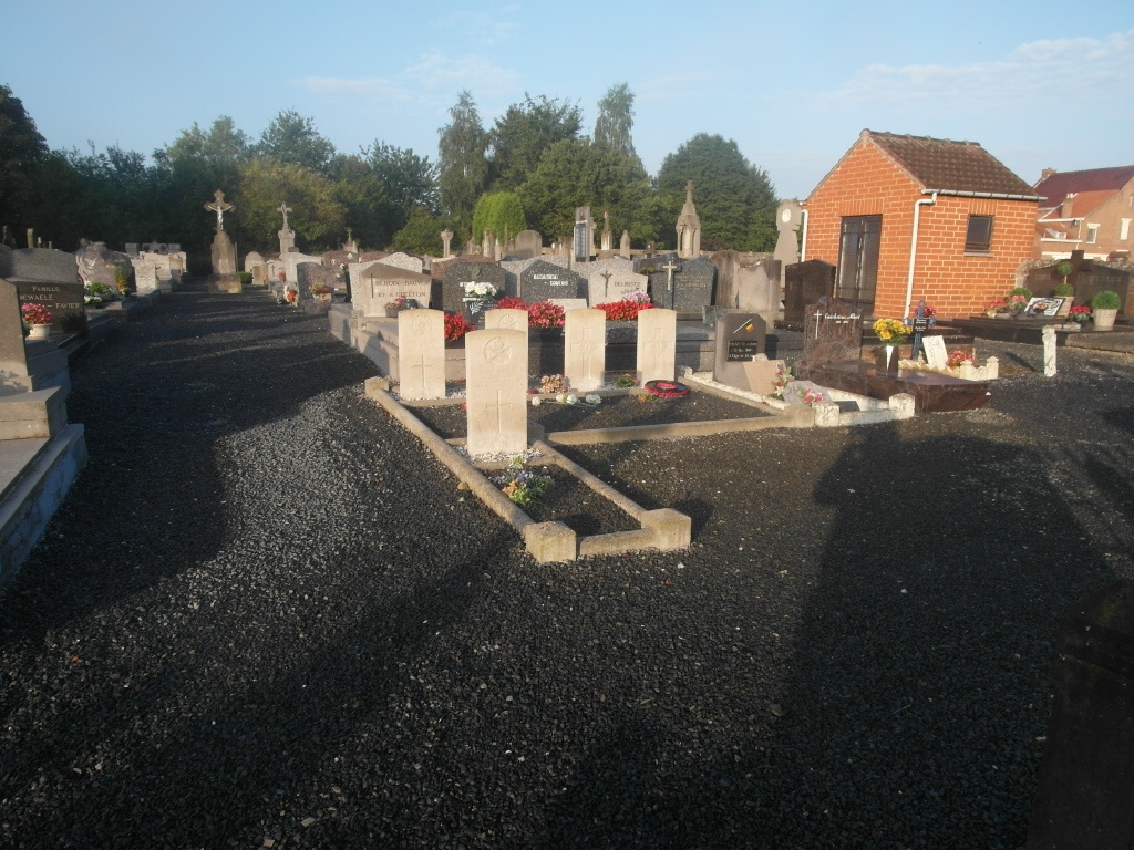
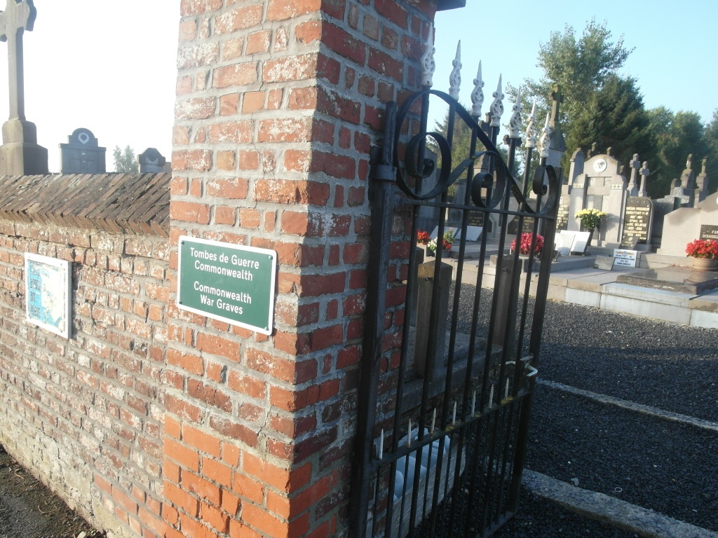
Guignies Communal Cemetery
- Country Belgium
- Total identified casualties 5 Find these casualties
- Region Hainaut
- Identified casualties from First World War
- GPS Coordinates Latitude: 50.5495, Longitude: 3.37311
Location information
The village of Guignies is located south-west of Tournai on the N508. From the E42 motorway turn off at junction 35 and onto the N7 direction Tournai. Follow the N7 and take the third turning on the right called rue de la Pannerie. Follow along this road through the village of Froidmont and cross over the junction with the N508. At the village of Taintignies turn left into rue de l'Eglise and follow this road to Guignies. Go through the village towards Wez-Velvain and the cemetery is on the left. The graves are located on the right of the cemetery near the entrance.
History information
Guignies Communal Cemetery contains five Commonwealth burials of the First World War, all dating from October 1918 and the Advance to Victory.