Ere Churchyard
- Country Belgium
- Total identified casualties 2 Find these casualties
- Region Hainaut
- Identified casualties from First World War
- GPS Coordinates Latitude: 50.5821, Longitude: 3.36685
Location information
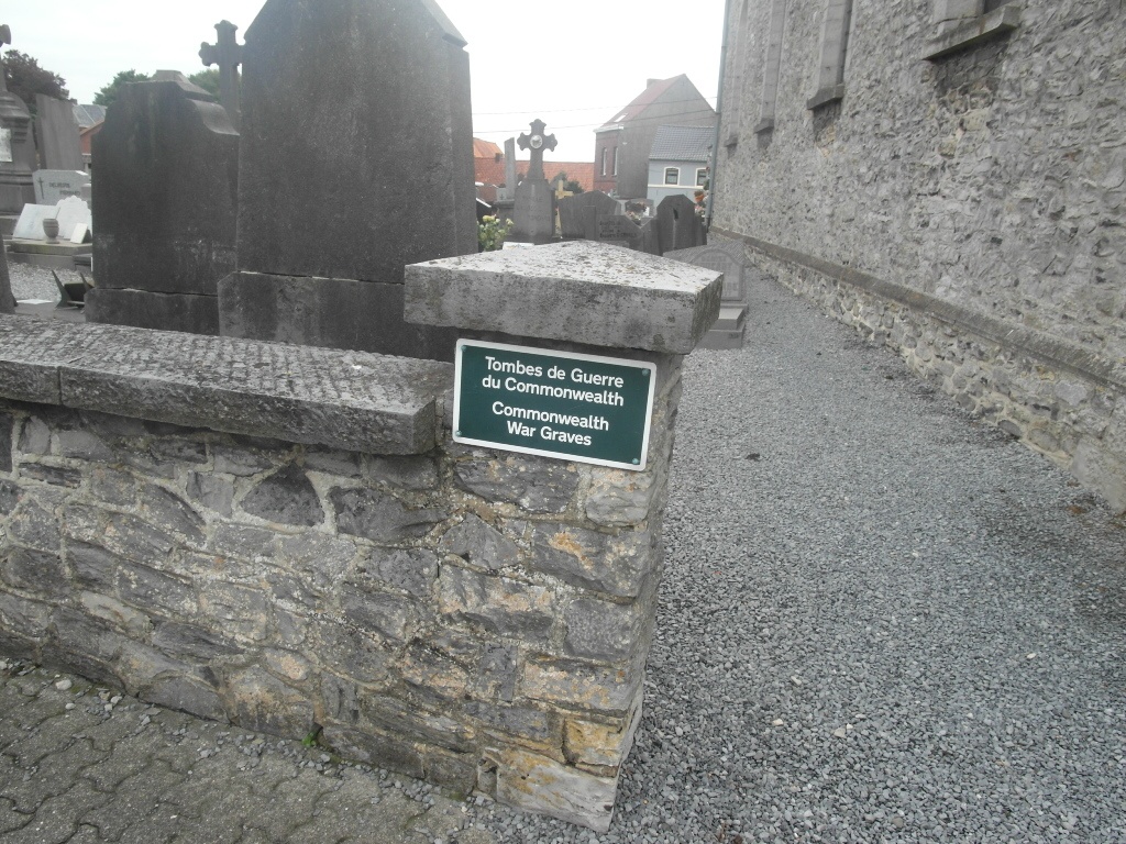
The village of Ere is located south-east of Tournai off the N508. From the E42 motorway turn off at junction 35 and onto the N7 direction Tournai. Follow the N7 to the Tournai ring R52 and turn right onto the ring. Follow the ring to the junction with the N508, turn onto the N508 direction Rumes. A short distance along the N508 the road splits, follow the left hand road chaussee de Willemeau towards Ere. Follow this road into the village and the church is on the right in the centre. The graves are located along the boundary wall to the left of the church.
History information
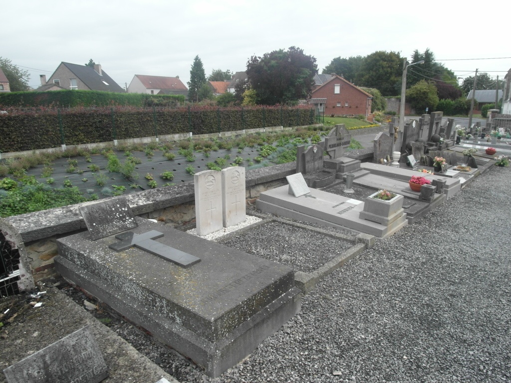
Ere Churchyard contains two Commonwealth burials of the First World War.