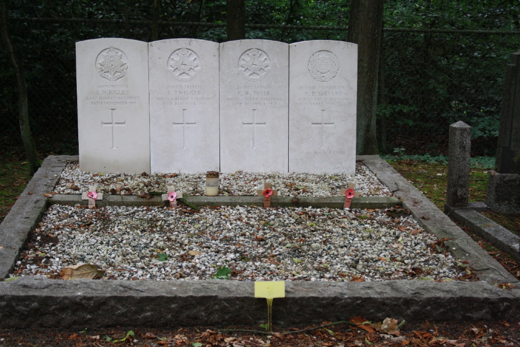
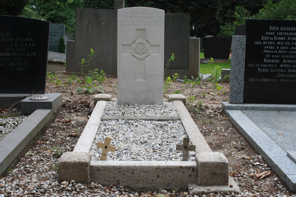
Nijmegen (Rustoord) Cemetery
- Country Netherlands
- Total identified casualties 5 Find these casualties
- Region Gelderland
- Identified casualties from First & Second World War
- GPS Coordinates Latitude: 51.83059, Longitude: 5.88079
Location information
The town of Nijmegen lies 16 kilometres south of Arnhem and 48 kilometres east-north-east of 'S-Hertogenbosch on the south bank of the river Waal. The cemetery is on the south eastern side of the town in Postweg, a road which runs parallel with the N842 to Groesbeek. Travelling towards Groesbeek from Nijmegen along the N842, turn left at the roundabout into Meerwijkselaan, then at the first crossroads turn right into Postweg. For the 1939-1945 graves, from the main entrance follow "Pad van de vergeet me nietjes",turn left at "Eeuwigheidslaan" and than to the plot named "Bomen" The 1914-1918 graves are in the "Uilen" plot.
Visiting information
opening hours
1 March to 30 September : 09.00 hrs - 20.00 hrs
1 October to end of February : 09.00 hrs - 17.00 hrs
History information
There are 4 Commonwealth burials of the 1914-1918 war and 1 of the 1939-1945 war commemorated in this site. Of these, 2 from the 1914-1918 War were brought from Sittard Protestant Cemetery.


