Vederso Churchyard
- Country Denmark
- Total identified casualties 1 Find these casualties
- Identified casualties from First World War
- GPS Coordinates Latitude: 56.23435, Longitude: 8.20029
Location information
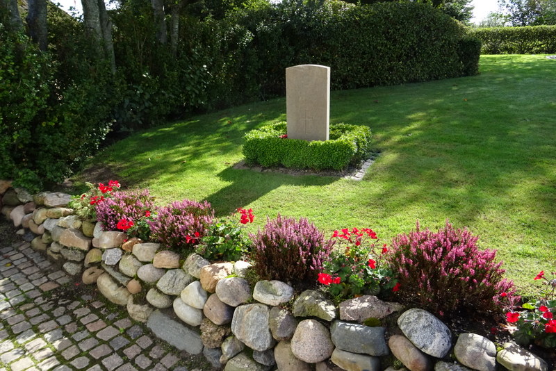
Vederso is a village in western Jutland about 15 kilometres north of Ringkobing and 10 kilometres south of the Nissum Fjord. From the A16/28 Ringkobing to Lemvig road turn left at Osterby onto the local road signposted to Madum and Vederso. The church is easily seen in the village. The single war grave marked by an Oland headstone is in a grassed area towards the rear of the churchyard close to a toolshed.
History information
Vederso Churchyard contains the grave of one Commonwealth soldier of the First World War.