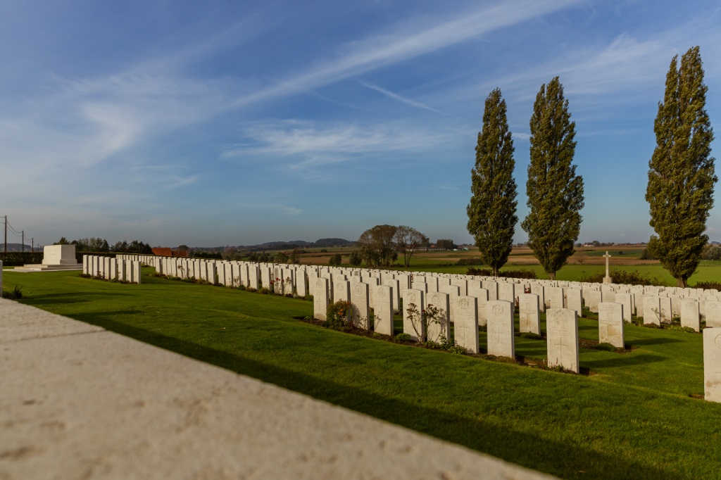
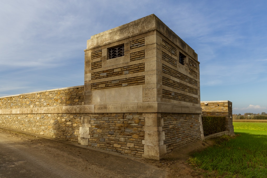
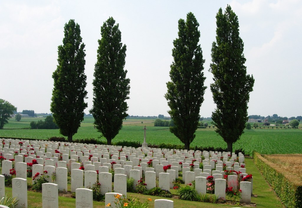
Klein-Vierstraat British Cemetery
- Country Belgium
- Total identified casualties 697 Find these casualties
- Region West-Vlaanderen
- Identified casualties from First World War
- GPS Coordinates Latitude: 50.80485, Longitude: 2.83924
Location information
Klein-Vierstraat British Cemetery is located 6 Kms south-west of Ieper town centre, on the Molenstraat, a road branching from the Kemmelseweg (joining Ieper to Kemmel N331). From Ieper town centre the Kemmelseweg is reached via the Rijselsestraat, through the Lille Gate (Rijselpoort), and straight on towards Armentieres (N365). 900 metres after the crossroads is the right hand turning onto the Kemmelseweg (made prominent by a railway level crossing). 5 Kms along the Kemmelseweg lies the right hand turning onto Vierstraat. 1km along the Vierstraat lies Kemmel No.1 French Cemetery. 100 metres past this cemetery is a road on the left called Molenstraat. Klein-Vierstraat British Cemetery is located 30 metres along the Molenstraat on the right hand side of the road.
Visiting information
Wheelchair access is possible via the main entrance.
For further information regarding wheelchair access, please contact our Enquiries Department on telephone number: 01628 634221
History information
The village of Kemmel and the adjoining hill, Mont Kemmel, were the scene of fierce fighting in the latter half of April 1918, in which both Commonwealth and French forces were engaged.
The cemetery was begun in January 1917 and Plots I to III were made by field ambulances and fighting units before the middle of January 1918. Plot IV was begun in April 1918. After the Armistice, graves were brought into Plot I, Row H, and Plots IV to VII, from two smaller cemeteries (FERME HENRI PATTYN-VANLAERES, Poperinghe and MONT-VIDAIGNE MILITARY CEMETERY, Westoutre) and from the battlefields of Dikkebus, Loker and Kemmel.
Klein-Vierstraat British Cemetery now contains 805 First World War burials, 109 of them unidentified.
The cemetery was designed by Sir Edwin Lutyens.


