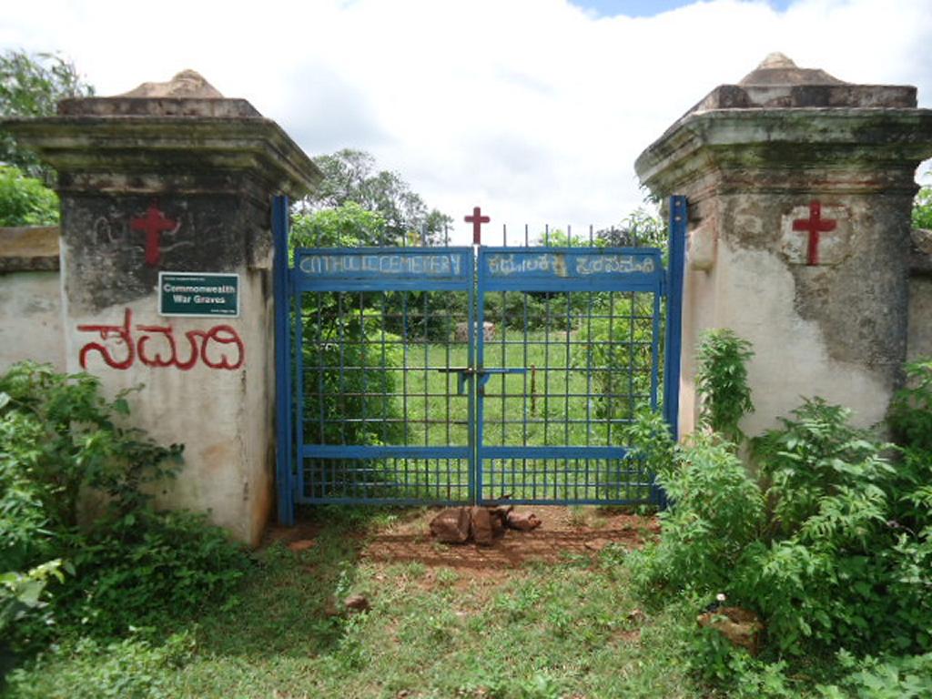
Ramandrug Cemetery
- Country India
- Total identified casualties 2 Find these casualties
- Identified casualties from First World War
- GPS Coordinates Latitude: 15.12914, Longitude: 76.45677
Location information
There is a regular bus service from Bangalore to Sandur. It takes about half hour to drive the 16 km from the town of Sandur to reach at Ramandrug. GPS Coordinates: 15°07'43.8"N 76°27'24.4"E
Visiting information
The Cemetery, which was abandoned earlier has now been taken over by the Catholic Church of Sandur, the key to the gates of the Cemetery are kept with the caretaker of a Chapel at Ramandrug.