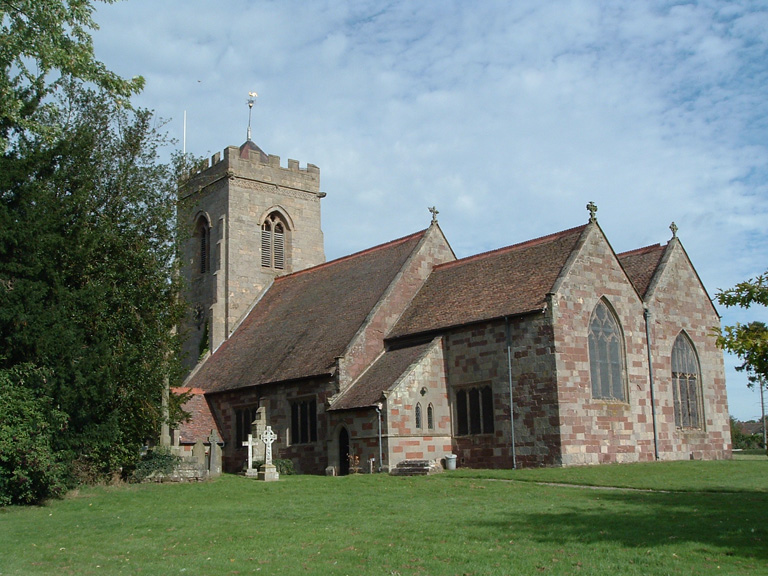
High Ercall (St. Michael) Churchyard
- Country United Kingdom
- Total identified casualties 9 Find these casualties
- Region Shropshire
- Identified casualties from First & Second World War
- GPS Coordinates Latitude: 52.7521, Longitude: -2.60264
Commonwealth war graves commission Caring for the fallen