Hohenstein-Ernstthal (St. Christopher) Cemetery
- Country Germany
- Total identified casualties 1 Find these casualties
- Region Sachsen
- Identified casualties from Second World War
- GPS Coordinates Latitude: 50.80386, Longitude: 12.70223
Location information
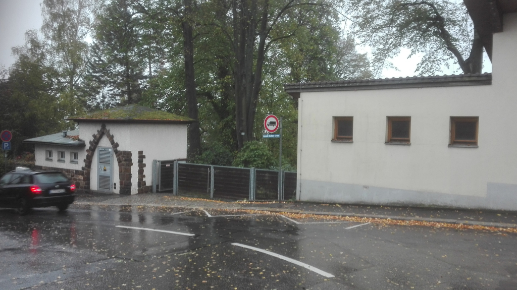
Hohenstein-Ernstthal is a small village in South East Germany approx 20 km west of Chemnitz, it is located in the region Hohenstein, Sachsen. From the A4 to Chemnitz motorway take exit 65 (Ausfahrt 65) B180 HOHENSTEIN-ERNSTTHAL / LICHTENSTEIN / LUGAU and follow direction HOHENSTEIN-ERNSTTHAL, continue along LOBSDORFER for approx 1.5 kms, then turn left onto S245 AM SACHSENRING and continue for approx 2.4 kms, then turn left onto HINRICH-WICHERN-STRAßE. After approx 600 m the main entrance to the cemetery can be found on the right. The cemetery address is: Hinrich-Wichern-Straße 09337 Hohenstein-Ernstthal Germany GPS Co-ordinates: N 50 48 14, E 12 42 06
Visiting information
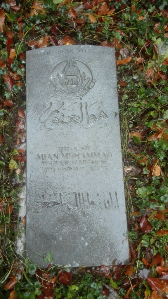
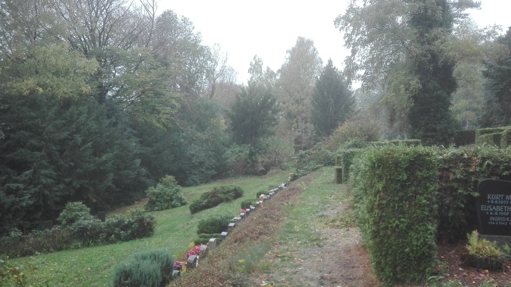
The single CWGC headstone (recumbent) is located centrally at the bottom of the cemetery.
History information
This civil cemetery contains one Commonwealth burial of the Second World War.