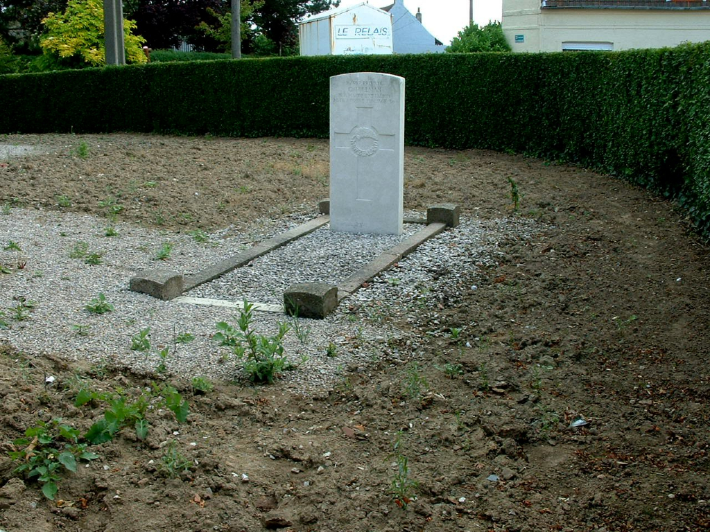
Staple Churchyard
- Country France
- Total identified casualties 1 Find these casualties
- Region Nord
- Identified casualties from First World War
- GPS Coordinates Latitude: 50.74884, Longitude: 2.45473
History information
Staple is a village and commune two miles North-East of Ebblinghem. In the South-East corner of the Churchyard is 1 Commonwealth burial of the First World War.