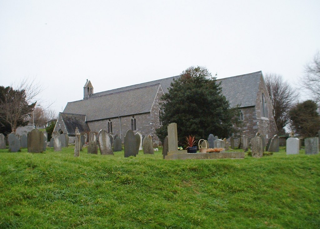
Hooe (St. John) Churchyard Extension
- Country United Kingdom
- Total identified casualties 22 Find these casualties
- Region Devon
- Identified casualties from First & Second World War
- GPS Coordinates Latitude: 50.35418, Longitude: -4.11639
History information
The extension is south-east of the church. The burials are South and North of the centre path. There are 12 Commonwealth burials of the 1914-18 war here. There are a further 13 of the 1939-45 war, 4 being unidentified seamen of the Merchant Navy.