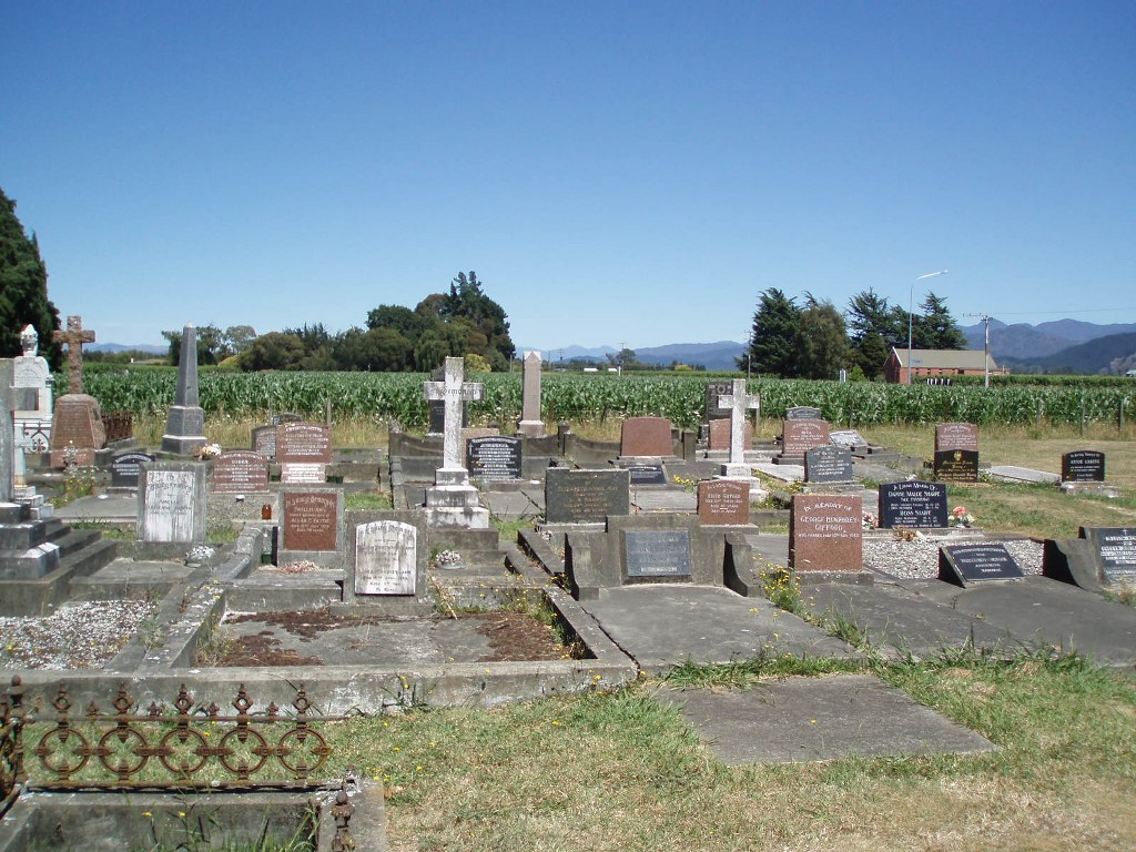
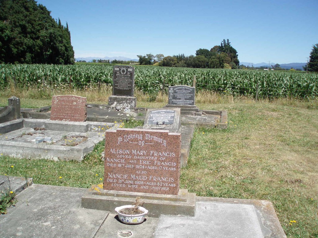
Rapaura (Holy Trinity) Anglican Churchyard
- Country New Zealand
- Total identified casualties 1 Find these casualties
- Region Marlborough District
- Identified casualties from Second World War
- GPS Coordinates Latitude: -41.47249, Longitude: 173.90186
Location information
The churchyard is situated at the corner of Rapaura Road and Hammerich Road, Rapaura.
History information
There is 1 Commonwealth burial of the 1939-1945 war here.