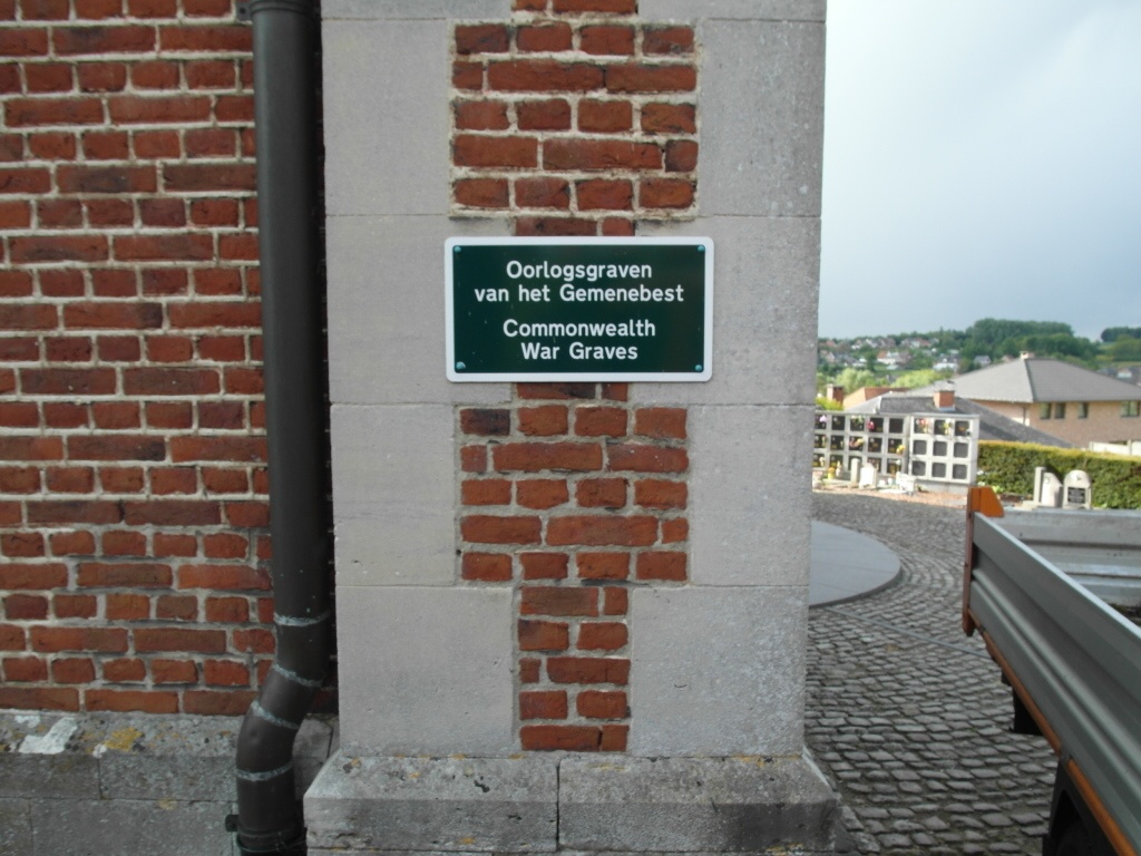
Neerijse Churchyard
- Country Belgium
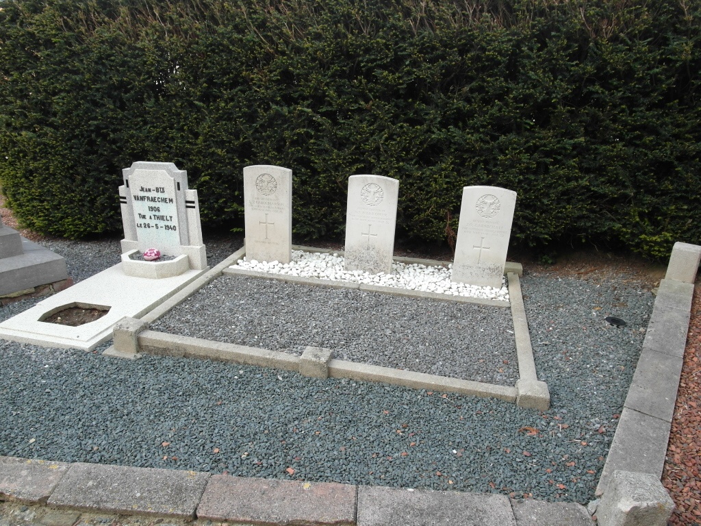
- Total identified casualties 3 Find these casualties
- Region Vlaams-Brabant
- Identified casualties from Second World War
- GPS Coordinates Latitude: 50.81742, Longitude: 4.62537
Location information
Neerijse is a village situated 28 kilometres east of Brussels, and 10 kilometres south-west of Leuven on the Leuven-Overijse road. The churchyard is in the centre of Neerijse. The graves are close to the main entrance to the church.
History information
The British Expeditionary Force was involved in the later stages of the defence of Belgium following the German invasion in May 1940, and suffered many casualties in covering the withdrawal to Dunkirk. Neerijse Churchyard contains three Commonwealth burials of the Second World War.