Korbeek-Dijle Churchyard
- Country Belgium
- Total identified casualties 1 Find these casualties
- Region Vlaams-Brabant
- Identified casualties from Second World War
- GPS Coordinates Latitude: 50.83938, Longitude: 4.64083
Location information
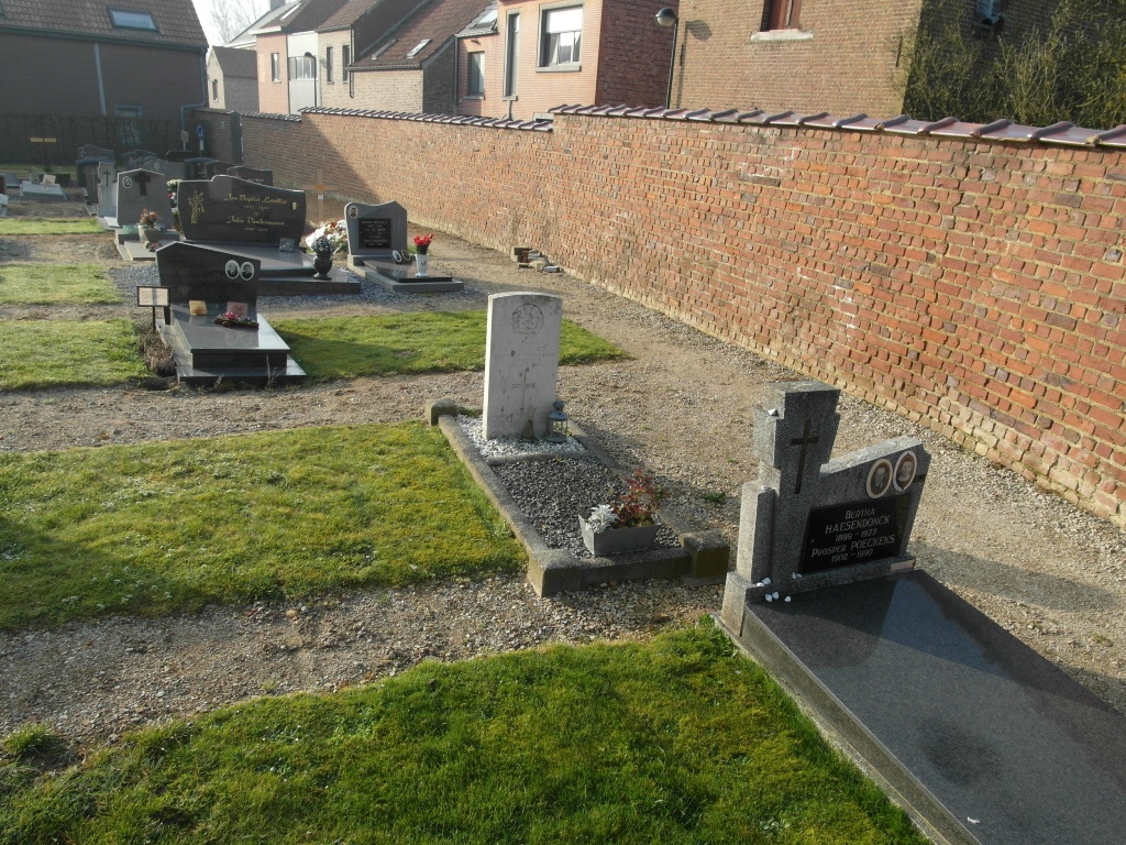
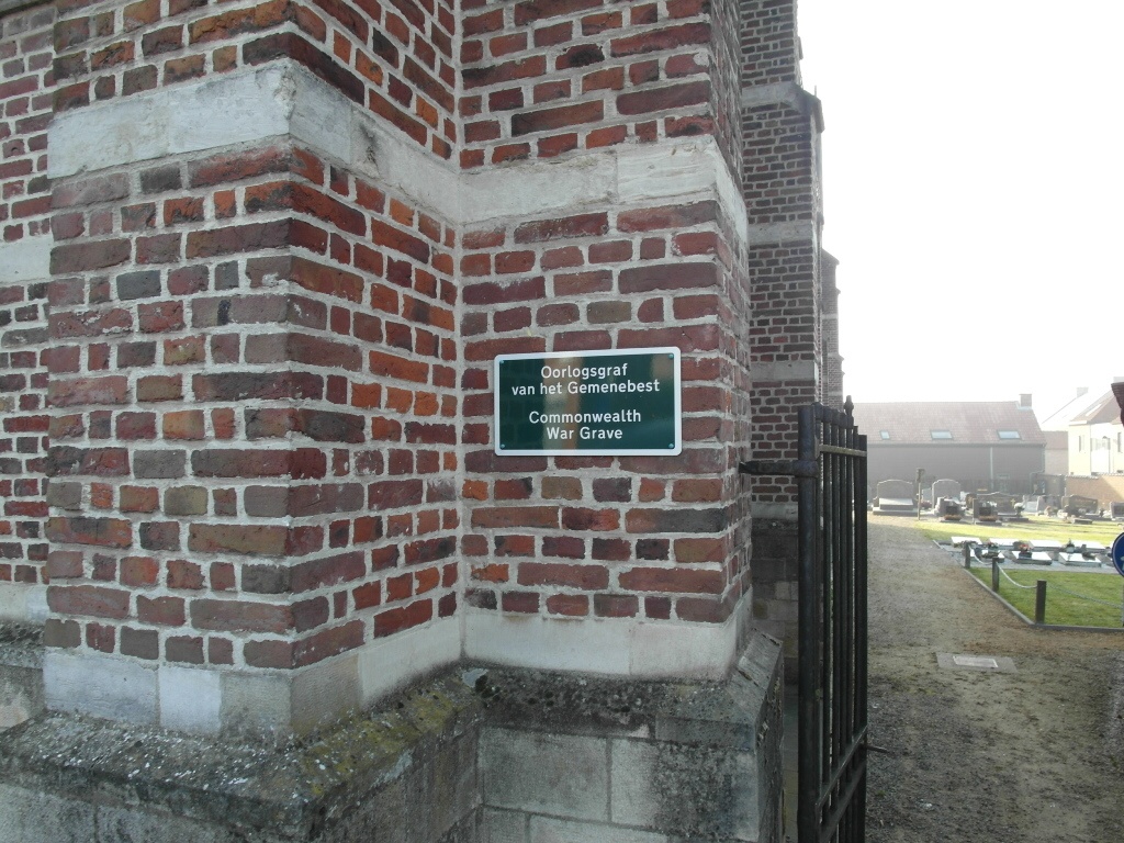
Koorbeek-Dijle is a small village 30 kilometres east of Brussels and 8 kilometres south-west of Leuven. It lies astride the Leuven-Oberijse road. The churchyard lies about 360 metres east of the main road, and the Commonwealth grave is on the west side of the church, close to the boundary wall.
History information
The British Expeditionary Force was involved in the later stages of the defence of Belgium following the German invasion in May 1940, and suffered many casualties in covering the withdrawal to Dunkirk. Korbeek-Dijle Churchyard contains one Commonwealth burial of the Second World War.