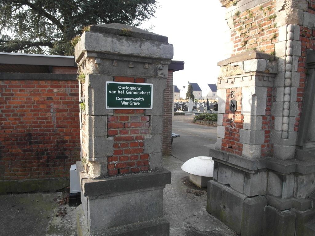
Diest Communal Cemetery
- Country Belgium
- Total identified casualties 1 Find these casualties
- Region Vlaams-Brabant
- Identified casualties from Second World War
- GPS Coordinates Latitude: 50.98009, Longitude: 5.06047
Location information
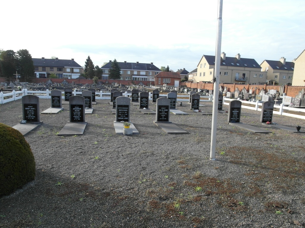
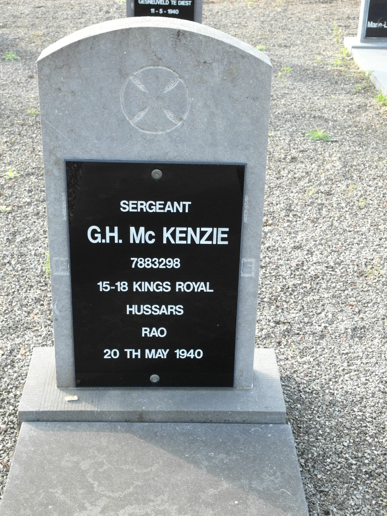
Diest is a town situated 61 kilometres north-east of Brussels. The cemetery lies 180 metres north-east of the Diest-Hasselt road, and is about 1.2 kilometres from the centre of the town. In the Belgian military plot in the south-eastern portion is the grave of a British soldier. It is marked by a private memorial.
History information
The British Expeditionary Force was involved in the later stages of the defence of Belgium following the German invasion in May 1940, and suffered many casualties in covering the withdrawal to Dunkirk. Diest Communal Cemetery contains one Commonwealth burial of the Second World War. The grave is in the Belgian military plot and is marked by a private memorial.