Boutersem Churchyard
- Country Belgium
- Total identified casualties 1 Find these casualties
- Region Vlaams-Brabant
- Identified casualties from Second World War
- GPS Coordinates Latitude: 50.83889, Longitude: 4.83186
Location information
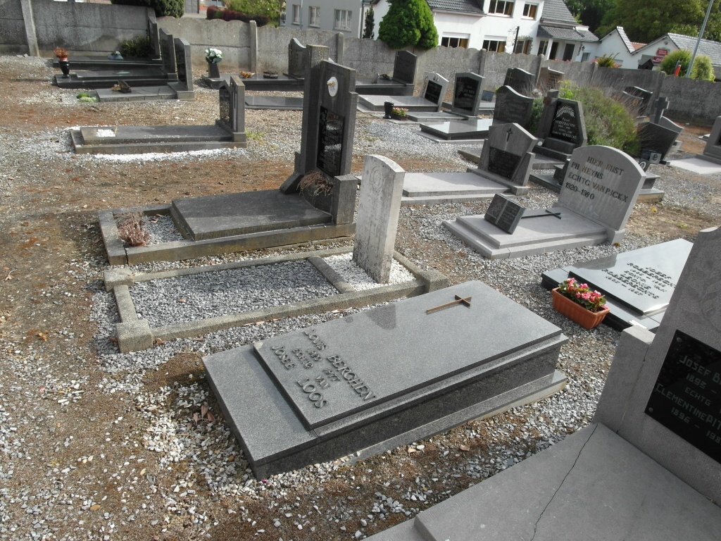
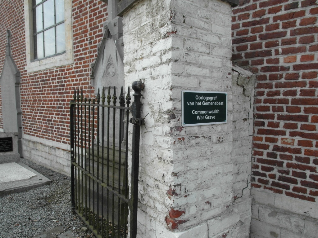
Boutersem is a village situated 42 kilometres east of Brussels, and 11 kilometres east of Leuven, astride the main Leuven-Tienen road. The church and churchyard are 320 metres south of the main road, and the Commonwealth grave is in the north-eastern part of the churchyard.
History information
The British Expeditionary Force was involved in the later stages of the defence of Belgium following the German invasion in May 1940, and suffered many casualties in covering the withdrawal to Dunkirk. Boutersem Churchyard contains one Commonwealth burial of the Second World War.