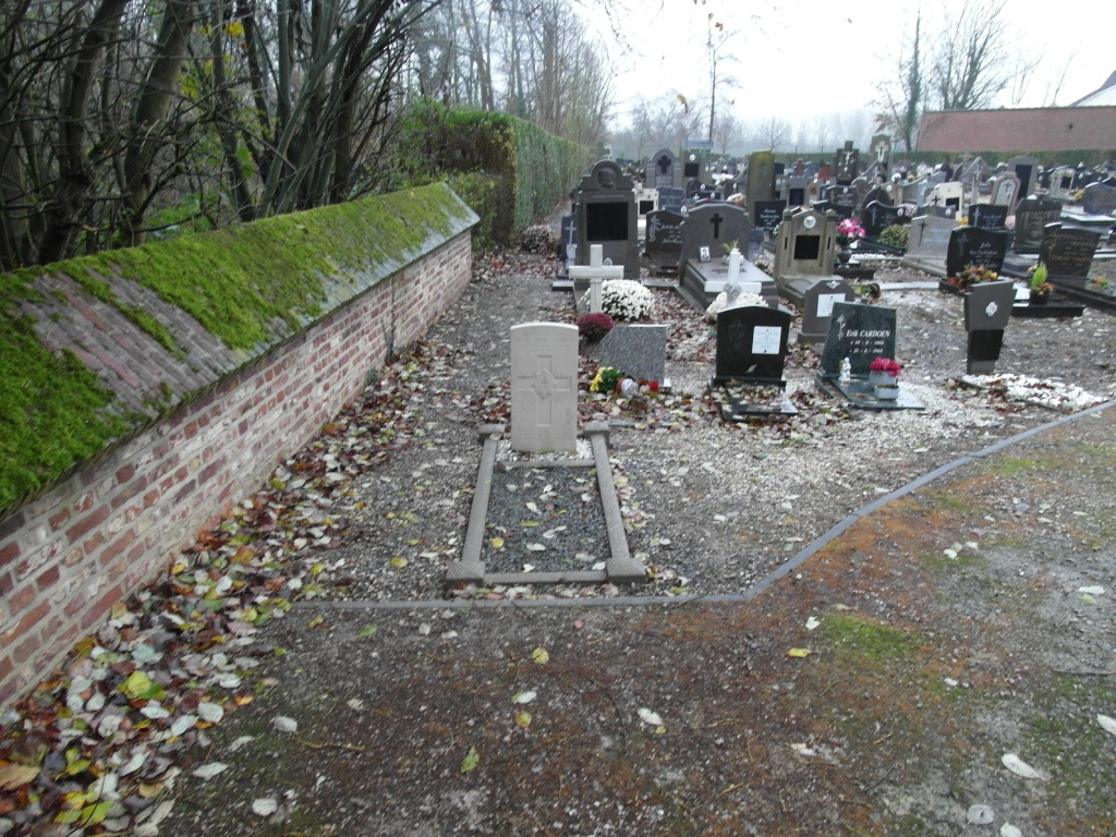
Voorde Churchyard
- Country Belgium
- Total identified casualties 1 Find these casualties
- Region Oost-Vlaanderen
- Identified casualties from Second World War
- GPS Coordinates Latitude: 50.82312, Longitude: 3.94903
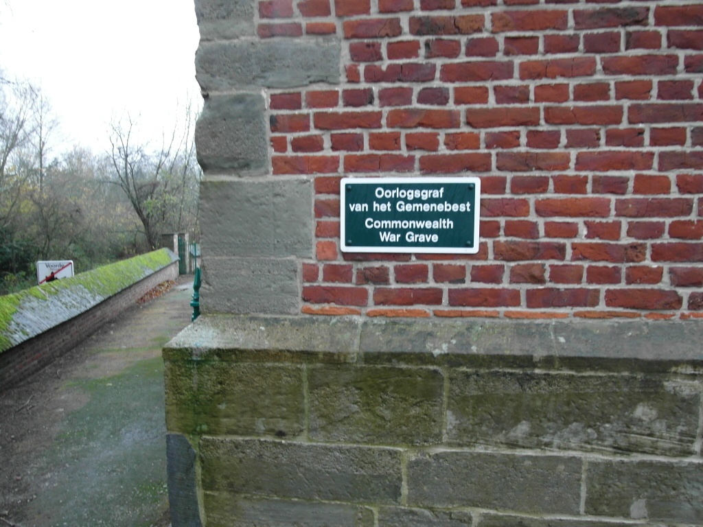
Location information
The village of Voorde is located south of the town of Aalst on the N8. From the motorway E40/A10, which runs between Oostende and Brussels, turn off at junction 19 onto the N45, direction Ninove. Follow this road to Ninove and the junction with the N405, turn right onto the N405 and at the junction with the N8 follow the N8 direction Brakel. At the first main crossroads turn left along Geraardsbergsesteenweg to Voorde. In the village at the fork bear right into Lepelstraat and at the crossroads turn left into Kerkstraat. The church is along here and the grave is located behind the church to the left.
History information
The British Expeditionary Force was involved in the later stages of the defence of Belgium following the German invasion in May 1940, and suffered many casualties in covering the withdrawal to Dunkirk. Commonwealth forces did not return until September 1944, but in the intervening years, many airmen were shot down or crashed in raids on strategic objectives in Belgium, or while returning from missions over Germany. Voorde Churchyard contains one Commonwealth burial of the Second World War.