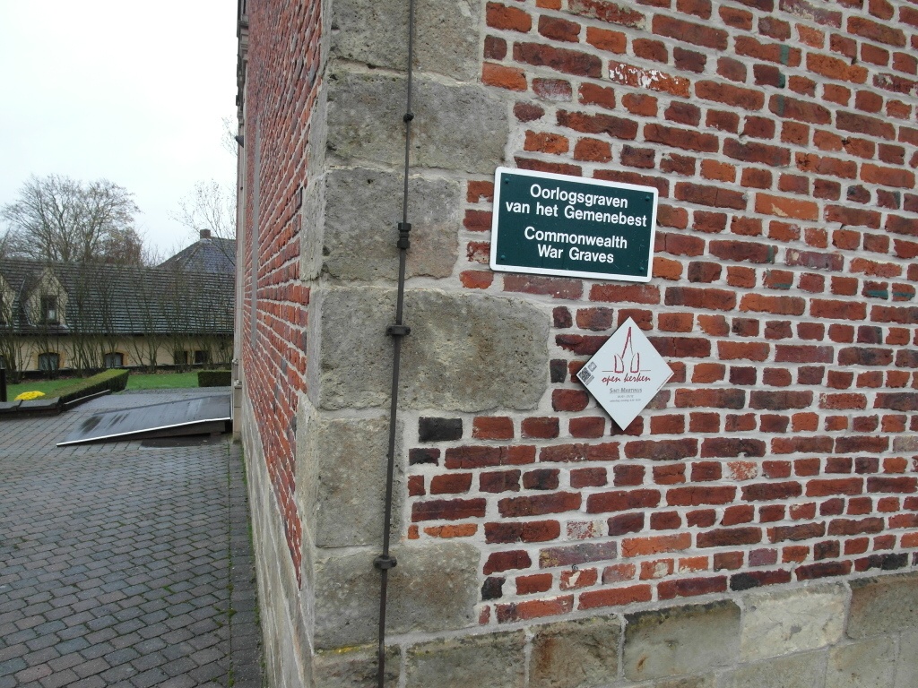
St. Lievens-Esse Churchyard
- Country Belgium
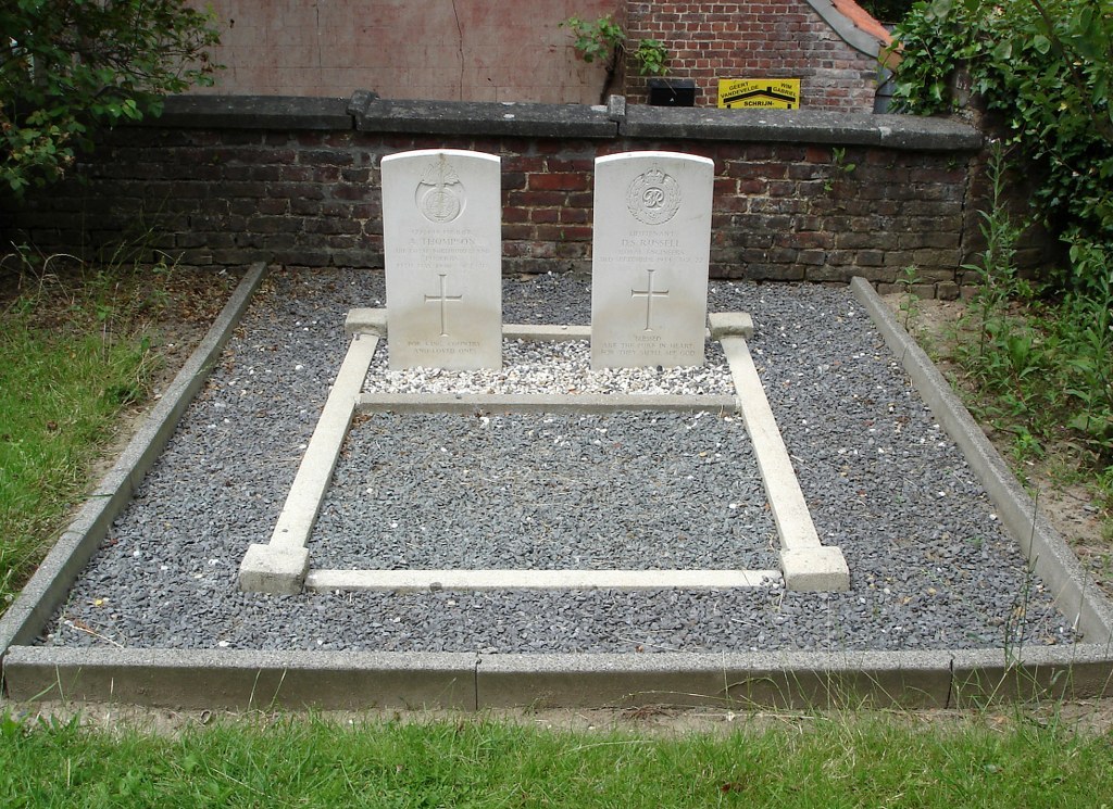
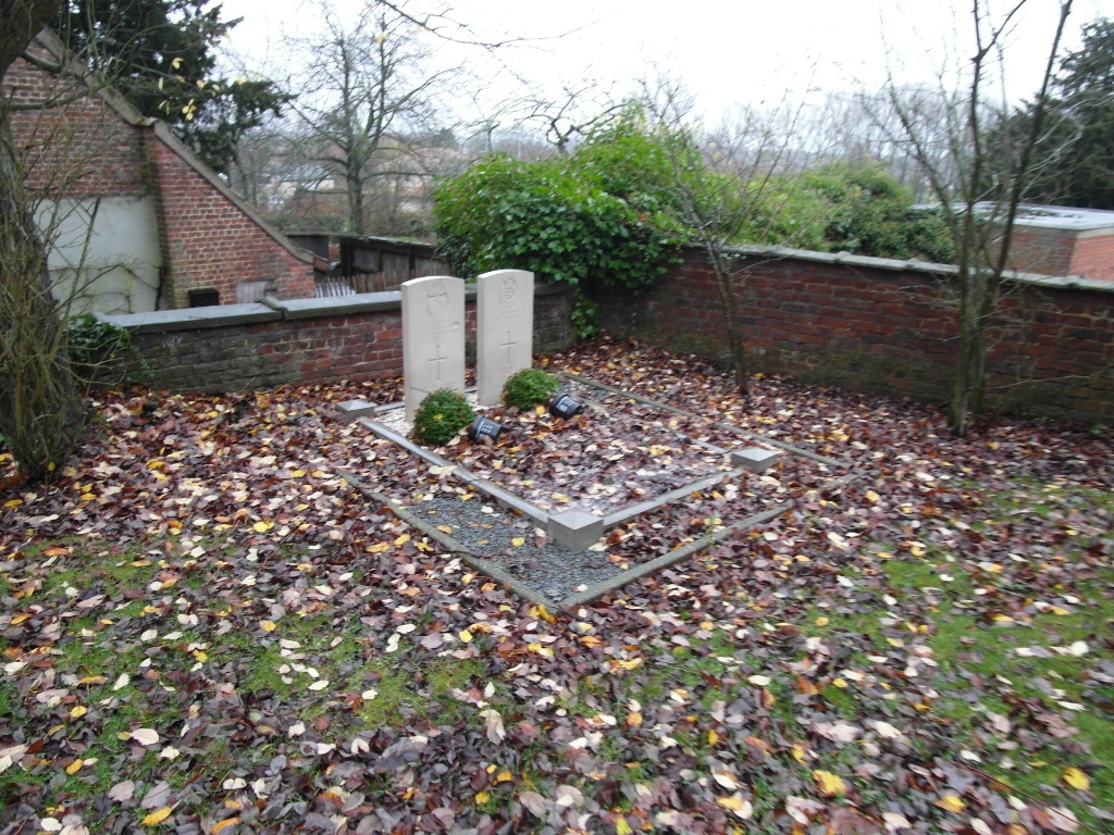
- Total identified casualties 2 Find these casualties
- Region Oost-Vlaanderen
- Identified casualties from Second World War
- GPS Coordinates Latitude: 50.85676, Longitude: 3.88464
Location information
The village of Sint-Lievens-Esse is located south-west of the town of Aalst off the N42. From the motorway E40/A10, which runs between Oostende and Brussels, turn off at junction 17 onto the N42, direction Geraardsbergen. Follow the N42 to the village of Wijnhuize and take the turning on the left called Schipstraat, direction St-Lievens-Esse. At the first crossroads in the village turn left into Populierestraat and the church is at the end of here in the Markt. The graves are located to the rear of the church.
History information
The British Expeditionary Force was involved in the later stages of the defence of Belgium following the German invasion in May 1940, and suffered many casualties in covering the withdrawal to Dunkirk. Commonwealth forces did not return until September 1944, but in the intervening years, many airmen were shot down or crashed in raids on strategic objectives in Belgium, or while returning from missions over Germany. St. Lievens-Esse Churchyard contains two Commonwealth burials of the Second World War.