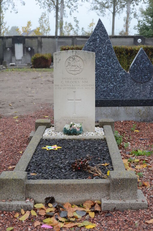
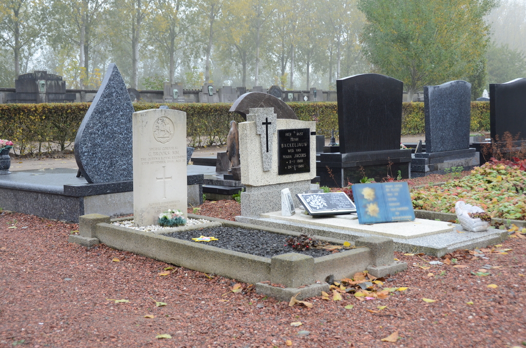
Kallo Communal Cemetery
- Country Belgium
- Total identified casualties 1 Find these casualties
- Region Oost-Vlaanderen
- Identified casualties from Second World War
- GPS Coordinates Latitude: 51.25486, Longitude: 4.27978
Location information
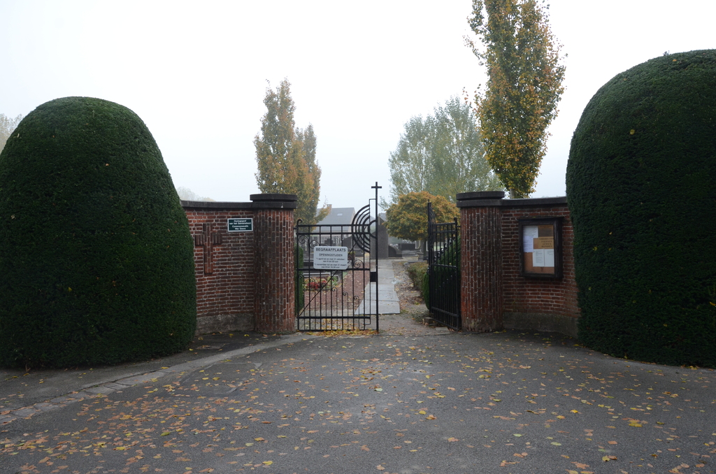
The village of Kallo is located west of the city of Antwerpen on the N450. From the motorway E17/A14, which runs between Kortrijk and Antwerpen, turn off at junction 16 onto the N419, direction Zwijndrecht. Follow this road to the junction with the N70 and turn left towards Melsele. Take the fourth turning on the right called Schoolstraat towards Kallo. Follow this road under the motorway and over the railway into Kallo. On entering the village the road bends sharp left. Just past the bend turn right into Zavelclaagstraat and the cemetery is at the end of this road. The grave is located to the left of the first path on the left.
History information
The British Expeditionary Force was involved in the later stages of the defence of Belgium following the German invasion in May 1940, and suffered many casualties in covering the withdrawal to Dunkirk. Commonwealth forces did not return until September 1944, but in the intervening years, many airmen were shot down or crashed in raids on strategic objectives in Belgium, or while returning from missions over Germany. Kallo Communal Cemetery contains one Commonwealth burial of the Second World War.