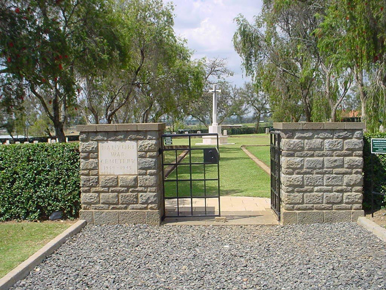
Nanyuki War Cemetery
- Country Kenya
- Total identified casualties 200 Find these casualties
- Identified casualties from Second World War
- GPS Coordinates Latitude: -0.00053, Longitude: 37.10035
Location information
Nanyuki is located about 165 kilometres north of Nairobi, on the north-western side of Mount Kenya. The Cemetery is about 4 kilometres along a rough road from the town centre. From Nanyuki's shopping area turn right onto the road to Mount Kenya Safari Club. The cemetery is down the road on the left hand side, set well back with the grassed entrance drive marked by boundary stones. The route is signposted from the centre of town.
Visiting information
Nanyuki War Cemetery is open every day between 06:00 and 18:00. Outside of these hours the cemetery is locked with a coded padlock. If you are intending to visit this site outside of the opening hours the code to the padlock can be obtained from our office in Kenya on 00 254 20260 4301. The opening hours of this office are Monday-Friday 08:30-12:30, 13:30-16:30 (closed weekends).
Wheelchair access to this site is possible via main entrance. For further information regarding wheelchair access, please contact our Enquiries Section on telephone number 01628 507200.
History information
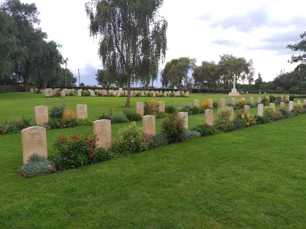
During the Second World War, Nanyuki was the rail head for the advance into Ethiopia, via Isiolo, Marsabit and Wajir, and was also an important advance base for the Royal Air Force. The war cemetery was started during hostilities by the Army, the first burial taking place in February 1940. In 2008 the nearby Civil Cemetery burials were transfered here. Nanyuki War Cemetery now contains 196 Commonwealth burials of the Second World War. There are also 36 non-war burials and one Abyssinian war grave in the cemetery.


