St. Amands Communal Cemetery
- Country Belgium
- Total identified casualties 1 Find these casualties
- Region Antwerpen
- Identified casualties from Second World War
- GPS Coordinates Latitude: 51.0514, Longitude: 4.20134
Location information
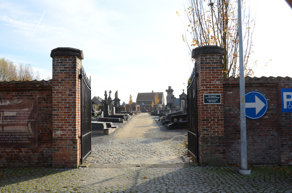
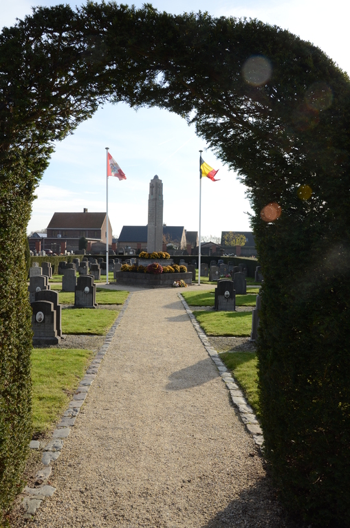
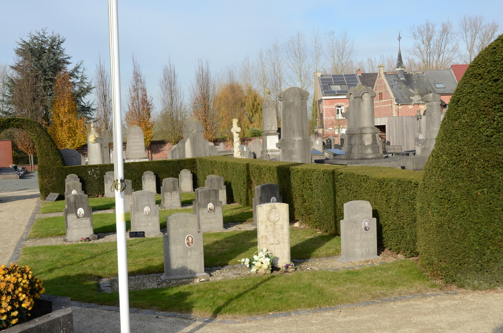
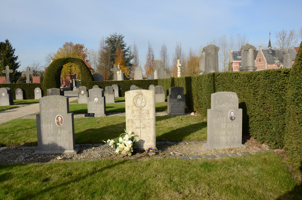
The village of Sint-Amands is located south west of Antwerp and north-east of the town of Dendermonde, off the N17 that runs between Dendermonde and Willebroek. From Dendermonde follow the N17 direction Willebroek past the river Schelde and over the railway. The road bears left here and after a short distance the turning for Sint-Amands is on the left. Turn left and follow the road onto the village, cross the railway and at the round-about take the second exit into Borgstraat. Then take the first turning on the left called Leerlooierslaan. At the end of the road turn right into Sportlaan. At the next junction turn right into Kapellelaan and the cemetery is along here on the right. From the entrance walk along the main path to the second path on the right and turn right along this path. The grave is located within a group of other war and former combatant graves that is enclosed by a Yew hedge. Enter the plot and the Commonwealth war grave is the first on the right.
History information
The British Expeditionary Force was involved in the later stages of the defence of Belgium following the German invasion in May 1940, and suffered many casualties in covering the withdrawal to Dunkirk. Commonwealth forces did not return until September 1944, but in the intervening years, many airmen were shot down or crashed in raids on strategic objectives in Belgium, or while returning from missions over Germany. St. Amands Communal Cemetery contains one Commonwealth burial of the Second World War.