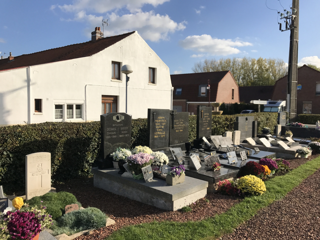
Socx Churchyard
- Country France
- Total identified casualties 4 Find these casualties
- Region Nord
- Identified casualties from Second World War
- GPS Coordinates Latitude: 50.93617, Longitude: 2.4226
Location information
Socx is a village and commune 12 kilometres south of Dunkirk, on the N.28 road from Bergues to St. Omer near the junction of this road with the N.16 main Dunkirk-Hazebrouck road. In this churchyard, near its eastern boundary, are the graves of two soldiers and one airman from the United Kingdom and 1 New Zealand airman.