Rexpoede Communal Cemetery
- Country France
- Total identified casualties 22 Find these casualties
- Region Nord
- Identified casualties from Second World War
- GPS Coordinates Latitude: 50.94373, Longitude: 2.53428
Location information
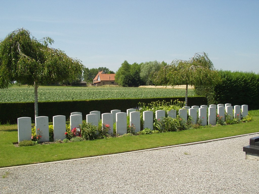
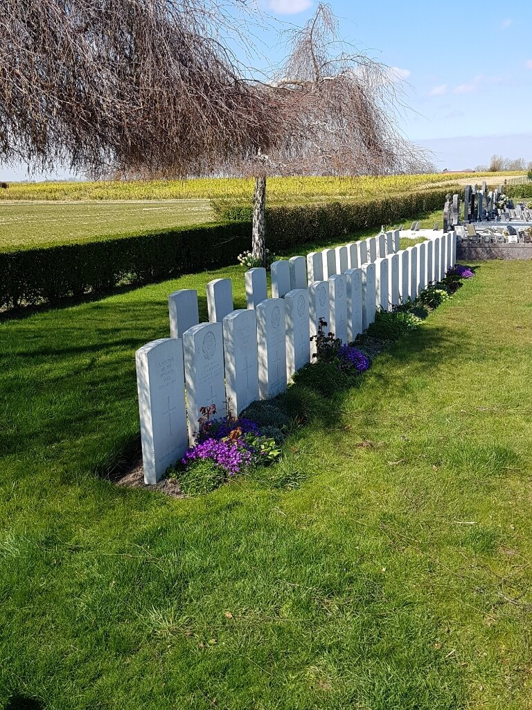
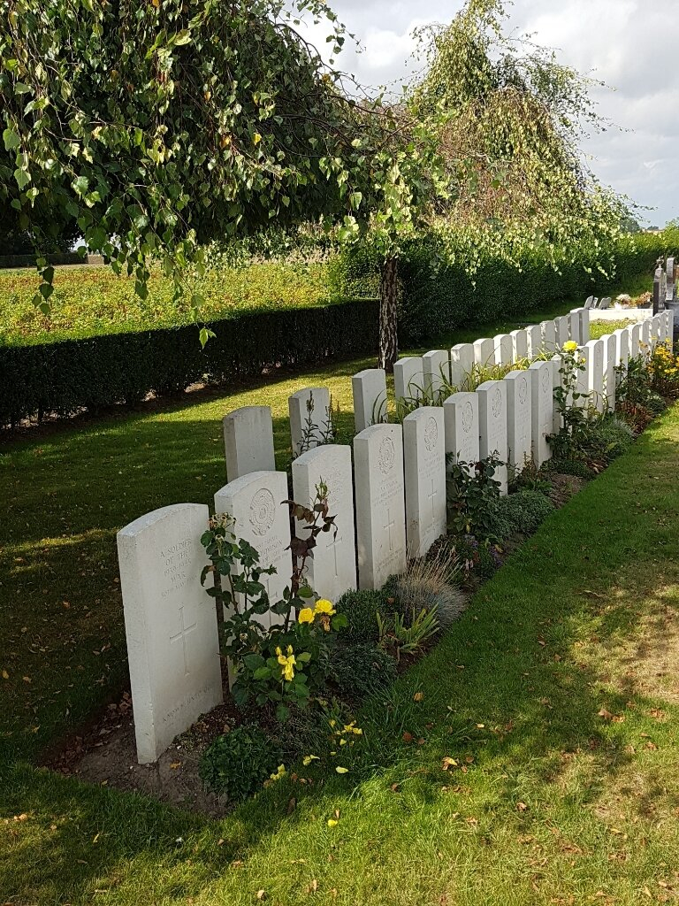
Rexpoede is a village 17 kilometres south-east of Dunkirk. By road the route is on the road to Bergues and thence on the road to Poperinghe. The Cemetery is north-west of the village 700 metres from the church. The British Plot is in the western corner, near the boundary.
History information
There are now over 30, 1939-45 war casualties commemorated in this site. Of these, a third are unidentified.