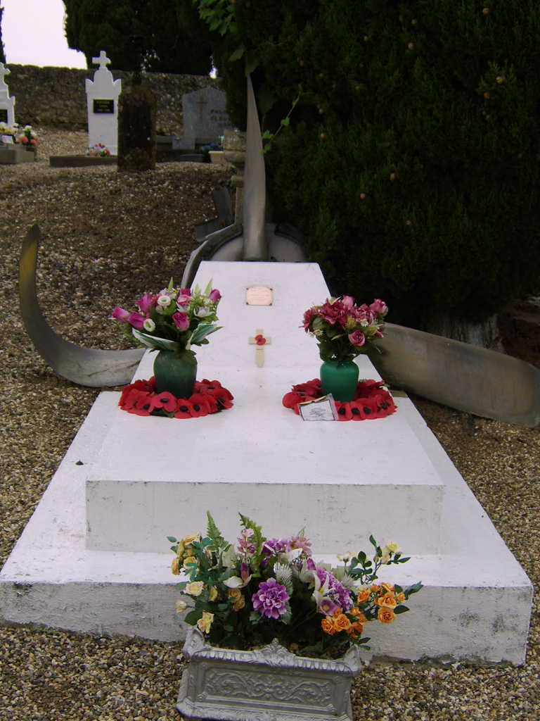
Feugarolles (Limon) Communal Cemetery
- Country France
- Total identified casualties 1 Find these casualties
- Region Lot-et-Garonne
- Identified casualties from Second World War
- GPS Coordinates Latitude: 44.19064, Longitude: 0.35149
Location information
Feugarolles is a village and commune some 22 kilometres West of Agen. The village is situated halfway along on the main road from Port Ste. Marie to St. Laurent. The cemetery is south of Feugarolles and East of the road to the village of Limon. The one British War Grave, marked by a permanent private memorial, is West of the entrance.